6,248 itinéraires dans Nordrhein-Westfalen. Trouvez votre prochain parcours sur Isomaps — cartes topo, GPS et profil altimétrique.
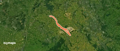
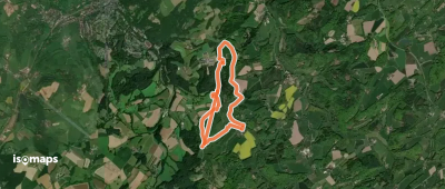
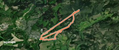
![Terrainkurweg 8 [Bad Meinberg]](https://static-tiles.b-cdn.net/screenshots/screenshot_trace_3072.webp)
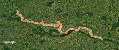
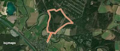
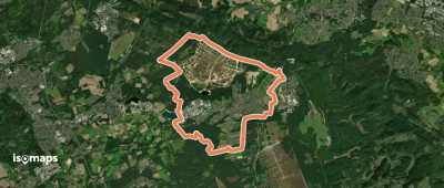
![[H] Hageböllinger-Kopf-Weg](https://static-tiles.b-cdn.net/screenshots/screenshot_trace_134332.webp)
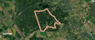
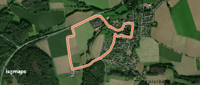
![[-] Rundweg um die alte Burg in Arnsberg](https://static-tiles.b-cdn.net/screenshots/screenshot_trace_6144.webp)
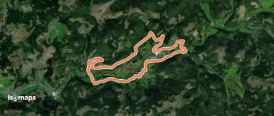
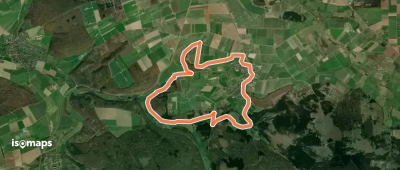
![[II] Rundweg Halver - Carthausen](https://static-tiles.b-cdn.net/screenshots/screenshot_trace_145089.webp)

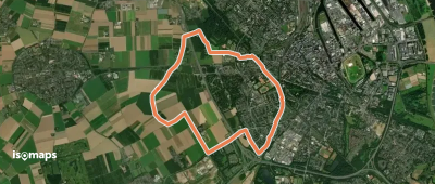
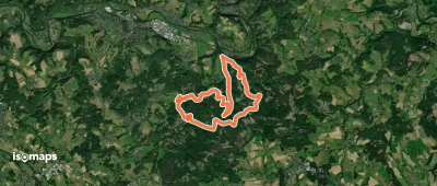
![[A7] Rundweg Dahlerbrück-Lischeid -Muhle](https://static-tiles.b-cdn.net/screenshots/screenshot_trace_171468.webp)
Essayez Iso Maps gratuitement pendant 7 jours. Disponible sur iOS et Android.
