6,248 itinéraires dans Nordrhein-Westfalen. Trouvez votre prochain parcours sur Isomaps — cartes topo, GPS et profil altimétrique.
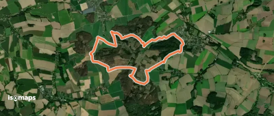
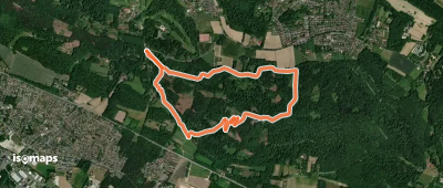
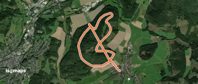
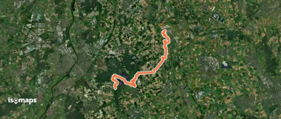
![[<8] Wanderweg 8 des KEV [Bergisch Gladbach]](https://static-tiles.b-cdn.net/screenshots/screenshot_trace_32385.webp)
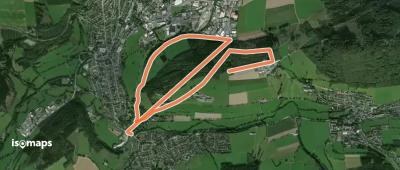
Oberrautenbach, Allemagne
6,91 km +309 m 1h 55min
Facile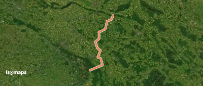

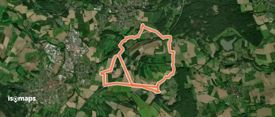
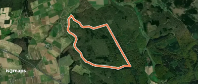
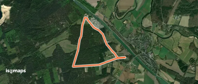
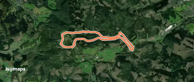
![[S1] Stockum Rundweg](https://static-tiles.b-cdn.net/screenshots/screenshot_trace_8707.webp)
Essayez Iso Maps gratuitement pendant 7 jours. Disponible sur iOS et Android.
