6,248 itinéraires dans Nordrhein-Westfalen. Trouvez votre prochain parcours sur Isomaps — cartes topo, GPS et profil altimétrique.
![Waldmythenweg [23]](https://static-tiles.b-cdn.net/screenshots/screenshot_trace_25054.webp)

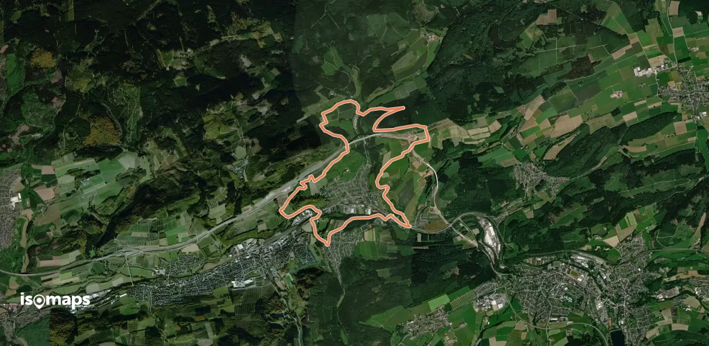
Querenburg, Allemagne
32,29 km +1 065 m 8h 15min
Très difficile


Essayez Isomaps gratuitement pendant 7 jours. Disponible sur iOS et Android.
