6,248 itinéraires dans Nordrhein-Westfalen. Trouvez votre prochain parcours sur Isomaps — cartes topo, GPS et profil altimétrique.
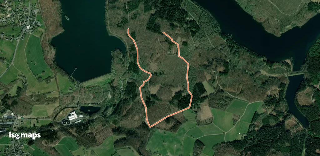
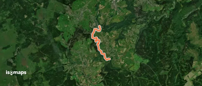
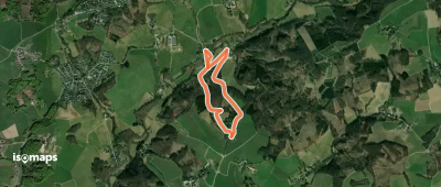
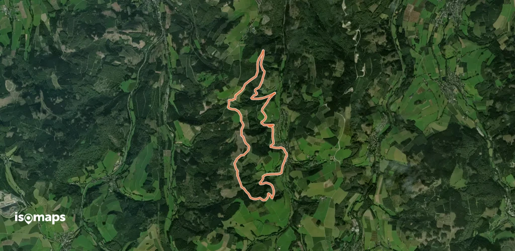
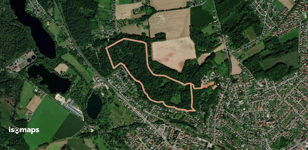
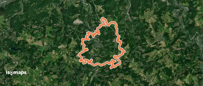
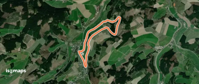
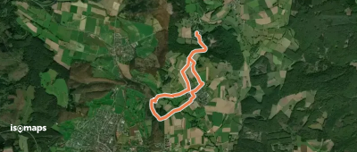
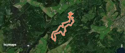
Monschau, Allemagne
5,95 km +346 m 2h 15min
Facile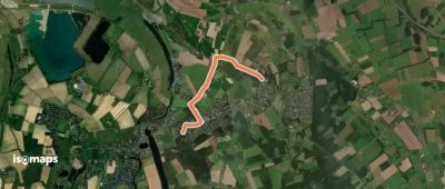


Essayez Isomaps gratuitement pendant 7 jours. Disponible sur iOS et Android.
