Randonnées en Haute-Bavière

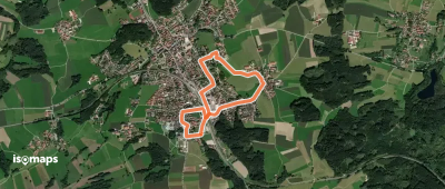
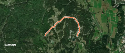
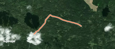
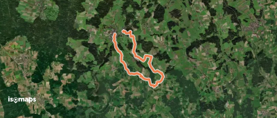
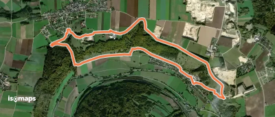
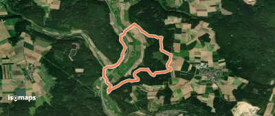
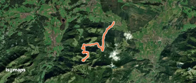
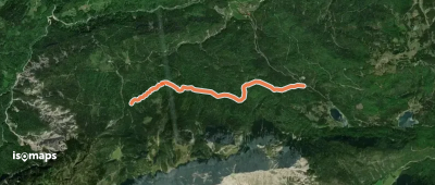
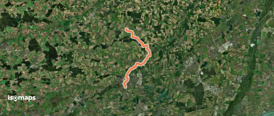
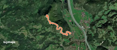
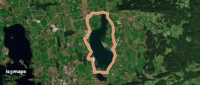
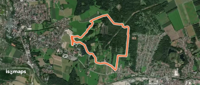
1,001 tracés · 1001 total activities recorded

Map of Haute-Bavière

La Haute-Bavière (Oberbayern) déploie sur 17 530 km² l'essentiel des Alpes bavaroises, ainsi que les contreforts préalpins, le plateau d'altitude entre Munich et les sommets, et les grands lacs (Chiemsee, Tegernsee, Königssee). La Zugspitze (2 962 m), point culminant de l'Allemagne, et le massif emblématique du Watzmann (2 713 m) dominent le paysage. Trois parcs nationaux (Berchtesgaden) et naturels (Karwendel, Ammergebirge) protègent les zones les plus spectaculaires.

Munich, capitale bavaroise, est la base de départ idéale : trains directs vers Garmisch-Partenkirchen (1h20), Berchtesgaden (3h), et l'ensemble des Alpes bavaroises. Le réseau de remontées mécaniques et de refuges du DAV (Club Alpin allemand) est exceptionnel.

Saison idéale : mai à octobre pour les vallées et le piémont, mi-juin à mi-octobre pour la haute altitude. Les chutes de neige précoces peuvent surprendre dès septembre au-dessus de 2 000 m. Toujours consulter le Lawinenwarndienst (service avalanche) et les conditions DAV avant de partir en haute montagne.

Cette zone est en construction sur Isomaps. N'hésitez pas à contribuer vos propres traces pour enrichir notre carte de la Haute-Bavière.

Top trails

Panoramaweg
Panoramaweg

Taching am See, Allemagne

5,13 km +82 m 1h 5min

Très facile
Wanderweg 546 - Valley

Weyarn, Allemagne

4,47 km +25 m 1h 0min

Très facile
Wanderweg 553 - Otterfing

Otterfing, Allemagne

5,04 km +101 m 1h 5min

Très facile
Wanderweg 686 - Bayrische Voralpen

Tegernsee, Allemagne

6,66 km +783 m 5h 5min

Modéré
Wanderweg 3 - Siegsdorf

Bergen, Allemagne

2,67 km +122 m 45min

Très facile
Thumberg-Rundweg Nr. 21

Achthal, Allemagne

3,64 km +164 m 1h 0min

Très facile
Wanderweg 1 - Bad Endorf

Bad Endorf, Allemagne

3,63 km +77 m 50min

Très facile
Wanderweg 845 (blau)

Mittenwald, Allemagne

2,41 km +134 m 35min

Très facile
Rundweg Kösching P2
Rundweg Kösching P2

Ingolstadt, Allemagne

2,59 km +48 m 35min

Très facile
Wanderweg 8, Glonn
Wanderweg 8, Glonn

Glonn, Allemagne

13,67 km +247 m 2h 55min

Facile
Naturlehrpfad Obereichstätt

Schernfeld, Allemagne

8,25 km +247 m 2h 5min

Facile
Wanderweg 2 - Bad Aibling

Bad Aibling, Allemagne

6,25 km +53 m 1h 20min

Très facile
Greding 9
Greding 9

Kinding, Allemagne

9,20 km +254 m 2h 10min

Facile
Genial Vital 4
Genial Vital 4

Rottau, Allemagne

9,53 km +1 030 m 3h 35min

Difficile
AV Weg 870 (Bannholzweg)

Obere Wettersteinspitze, Allemagne

4,96 km +333 m 1h 25min

Facile
Via Alpina Purple A51

Kleiner Brünnberg, Allemagne

7,96 km +194 m 3h 5min

Facile
Wanderweg 24 - Neubeuern

Neubeuern, Allemagne

4,04 km +85 m 55min

Très facile
Wanderweg 57 - Samerberg

Samerberg, Allemagne

6,53 km +252 m 1h 45min

Facile
Wanderweg 33 - Samerberg

Stiegel Alpe, Allemagne

6,44 km +512 m 2h 25min

Modéré
MVV Wanderweg Ring
MVV Wanderweg Ring

Röhrmoos, Allemagne

14,20 km +127 m 2h 55min

Facile
Wanderweg 5a - Oberaudorf

Wildbarren, Allemagne

5,05 km +84 m 2h 45min

Très facile
Riegsee-Rundweg
Riegsee-Rundweg

Riegsee, Allemagne

8,82 km +112 m 1h 50min

Facile
Nordic Walking Rundstrecke 2 - mittel

Bad Aibling, Allemagne

5,08 km +41 m 1h 5min

Très facile
Nordic Walking Rundstrecke 1 - schwer

Bad Aibling, Allemagne

8,45 km +73 m 1h 45min

Facile

Prêt pour votre prochaine sortie ?

Essayez Iso Maps gratuitement pendant 7 jours. Disponible sur iOS et Android.

Télécharger sur iOS Télécharger sur Android APK (sans Google)