1,373 itinéraires dans Odenwald. Trouvez votre prochain parcours sur Isomaps — cartes topo, GPS et profil altimétrique.


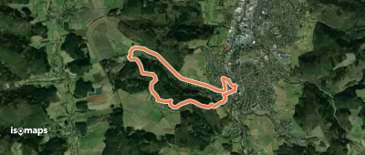
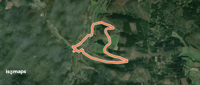
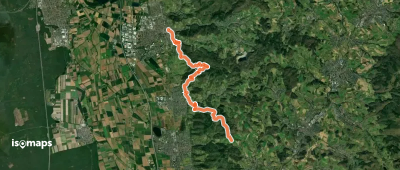
Unter-Finkenbach, Allemagne
4,42 km +197 m 1h 10min
Très facile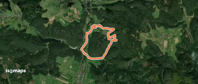
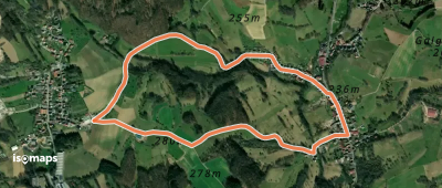


Ober-Finkenbach, Allemagne
7,86 km +325 m 2h 25min
Facile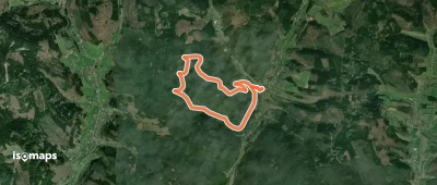
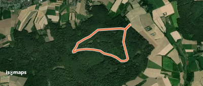
Mömlingen, Allemagne
3,83 km +82 m 50min
Très facile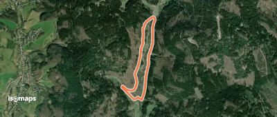
Unter-Abtsteinach, Allemagne
3,70 km +160 m 1h 10min
Très facile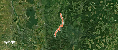
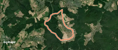
Fürstengrund, Allemagne
7,92 km +239 m 1h 50min
Très facile
Reinhardsachsen, Allemagne
8,82 km +253 m 2h 10min
Facile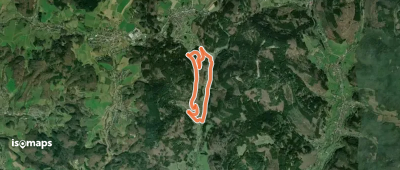
Hardberg, Allemagne
5,61 km +240 m 1h 40min
Facile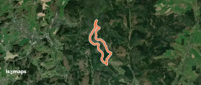
Raubach, Allemagne
5,64 km +215 m 1h 25min
Très facile
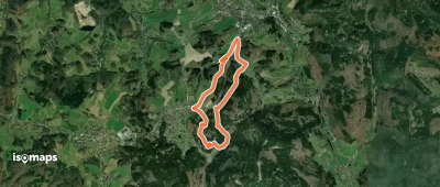
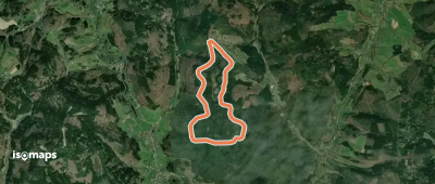
Geiersberg, Allemagne
6,86 km +178 m 1h 35min
Très facileEssayez Isomaps gratuitement pendant 7 jours. Disponible sur iOS et Android.


