1,373 itinéraires dans Odenwald. Trouvez votre prochain parcours sur Isomaps — cartes topo, GPS et profil altimétrique.
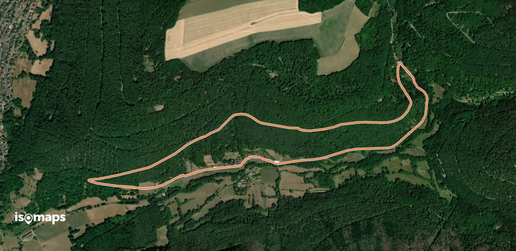

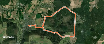
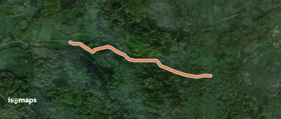
Reichartshausen, Allemagne
7,26 km +201 m 1h 35min
Très facile


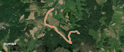
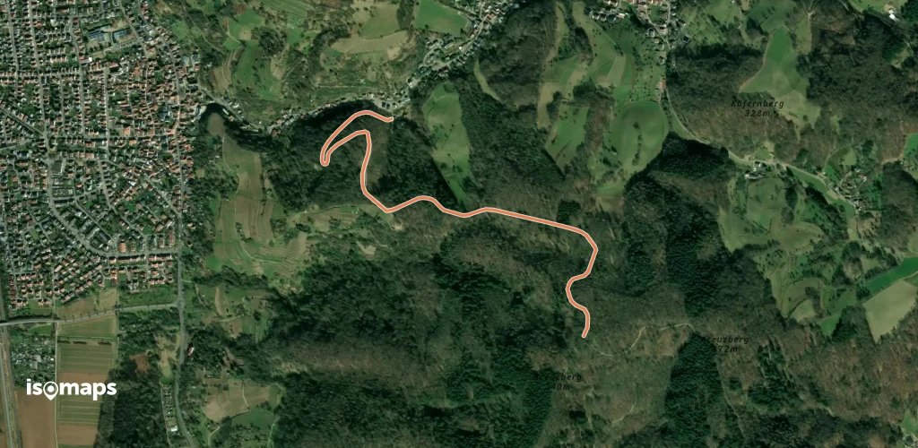
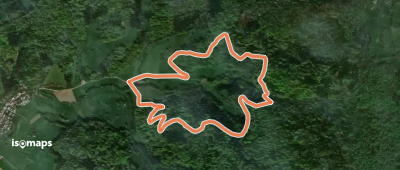
Hirschhorn, Allemagne
37,19 km +1 944 m 12h 30min
Très difficile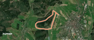
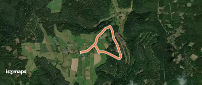
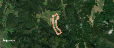
Oberzent, Allemagne
3,42 km +124 m 50min
Très facile
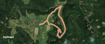

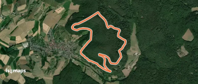
Hohberg, Allemagne
3,35 km +196 m 1h 10min
Très facile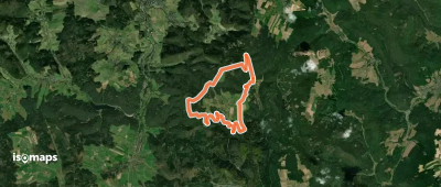
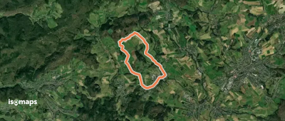
Mittershausen, Allemagne
5,61 km +126 m 1h 15min
Très facile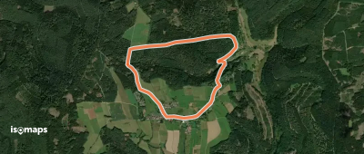
Essayez Isomaps gratuitement pendant 7 jours. Disponible sur iOS et Android.


