588 itinéraires dans Pfälzerwald. Trouvez votre prochain parcours sur Isomaps — cartes topo, GPS et profil altimétrique.
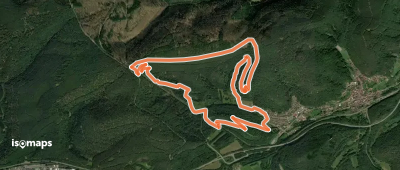
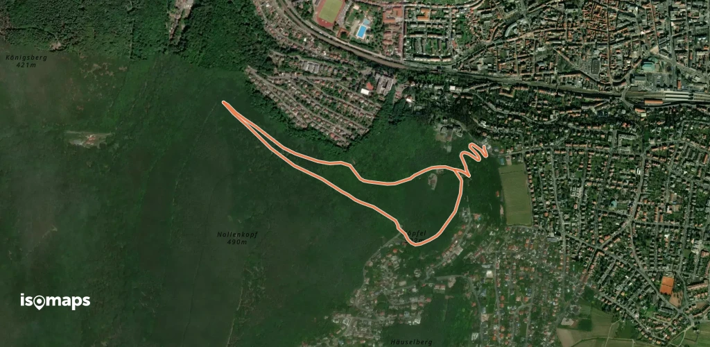
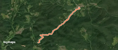
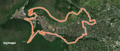
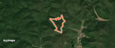
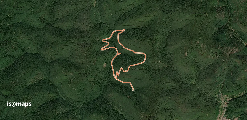
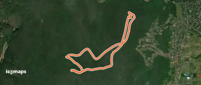
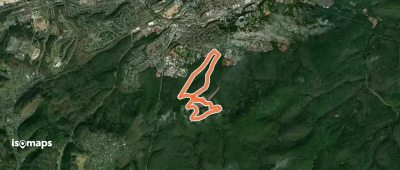
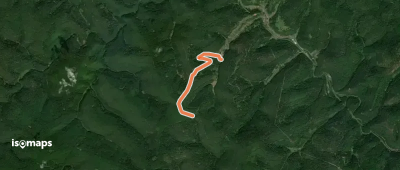
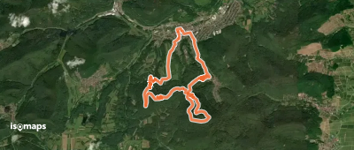
Hauenstein, Allemagne
7,39 km +468 m 3h 15min
Modéré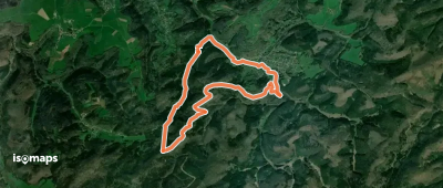

Essayez Isomaps gratuitement pendant 7 jours. Disponible sur iOS et Android.
