2,368 itinéraires dans Rheinland-Pfalz. Trouvez votre prochain parcours sur Isomaps — cartes topo, GPS et profil altimétrique.

![[2] Hemmelzen Rundwanderweg](https://static-tiles.b-cdn.net/screenshots/screenshot_trace_231434.webp)
![[RB3] Ransbach-Baumbach Rundwanderweg](https://static-tiles.b-cdn.net/screenshots/screenshot_trace_126967.webp)
Steinbach am Donnersberg, Allemagne
6,89 km +248 m 1h 40min
Très facile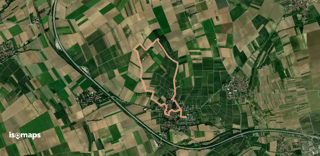
Essayez Isomaps gratuitement pendant 7 jours. Disponible sur iOS et Android.
