1,606 itinéraires dans Sachsen. Trouvez votre prochain parcours sur Isomaps — cartes topo, GPS et profil altimétrique.
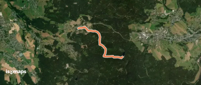
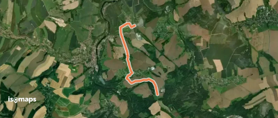
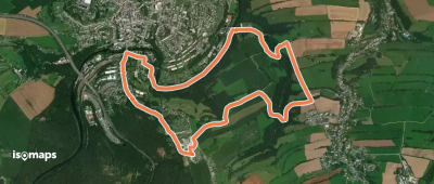
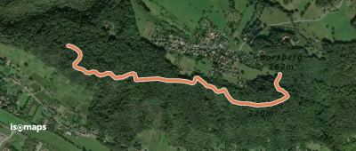
Schnarrtanne, Allemagne
3,36 km +120 m 45min
Très facile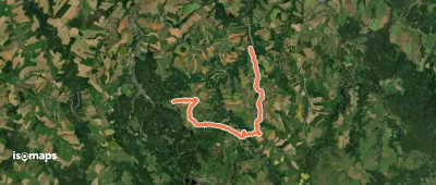
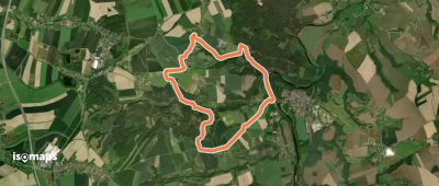
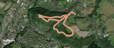
Lunzenau, Allemagne
4,07 km +121 m 55min
Très facile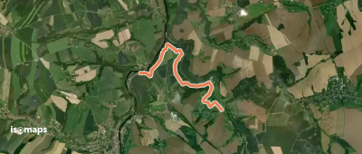
Essayez Isomaps gratuitement pendant 7 jours. Disponible sur iOS et Android.
