1,606 itinéraires dans Sachsen. Trouvez votre prochain parcours sur Isomaps — cartes topo, GPS et profil altimétrique.
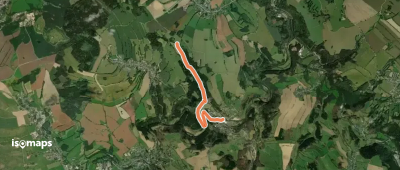
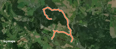
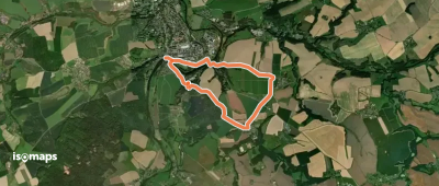
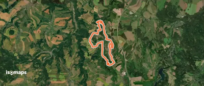
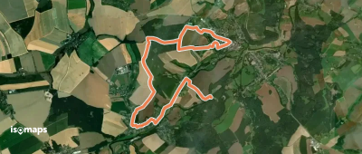
Hohenstein-Ernstthal, Allemagne
2,58 km +88 m 40min
Très facile

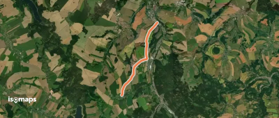
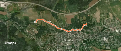
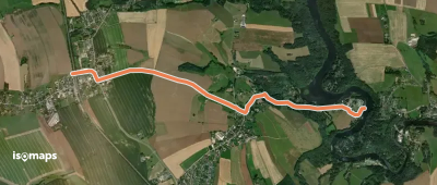
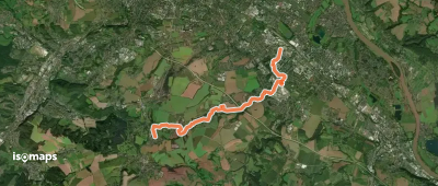
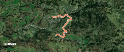
Hinterer Viehbig, Allemagne
4,32 km +56 m 55min
Très facile
Essayez Isomaps gratuitement pendant 7 jours. Disponible sur iOS et Android.
