1,606 itinéraires dans Sachsen. Trouvez votre prochain parcours sur Isomaps — cartes topo, GPS et profil altimétrique.


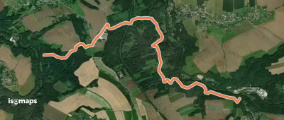
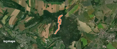
Luftkurort Lückendorf, Allemagne
8,48 km +339 m 2h 0min
Facile

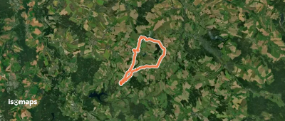
Sosa, Allemagne
7,87 km +300 m 2h 35min
Facile
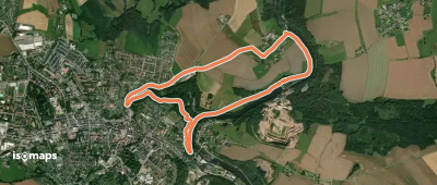
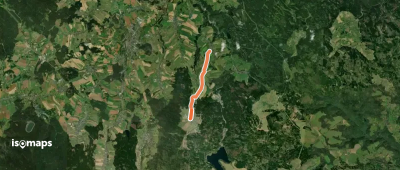
Heidenau, Allemagne
37,73 km +975 m 9h 0min
Très difficile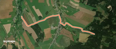

Essayez Iso Maps gratuitement pendant 7 jours. Disponible sur iOS et Android.
