Sächsische Schweiz

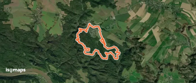
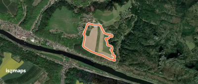
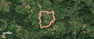
73 itinéraires dans Sächsische Schweiz. Trouvez votre prochain parcours sur Isomaps — cartes topo, GPS et profil altimétrique.

Bergpfad Goldsteig
Bergpfad Goldsteig

Großer Teichstein, Allemagne

2,64 km +272 m 1h 45min

Facile
Naturgenussweg
Naturgenussweg

Hinterhermsdorf, Allemagne

3,78 km +258 m 1h 20min

Très facile
Waldkundeweg
Waldkundeweg

Zadní Jetřichovice, Allemagne

3,20 km +113 m 50min

Très facile
Historischer Waldnutzungsweg

Zadní Jetřichovice, Allemagne

4,84 km +234 m 1h 25min

Très facile
Waldabenteuerweg
Waldabenteuerweg

Hinterhermsdorf, Allemagne

2,46 km +86 m 1h 20min

Très facile
Bergpfade Affensteine

Affensteine, Allemagne

3,95 km +591 m 5h 0min

Facile
Bergpfade Wehlener Gebiet

Stadt Wehlen, Allemagne

1,84 km +136 m 40min

Très facile
Rundwanderweg Blauer Punkt

Leupoldishain, Allemagne

6,32 km +279 m 1h 55min

Facile
Gelber Punkt, Kl. Zschirnstein, Rundwanderweg

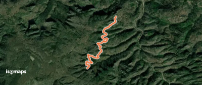
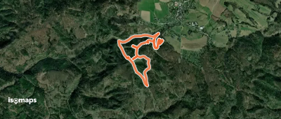
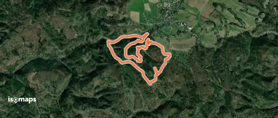
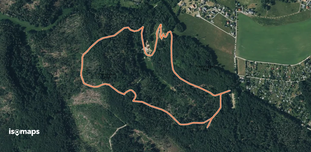
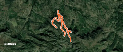
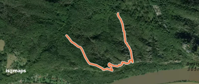
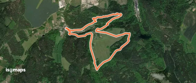
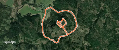
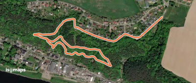
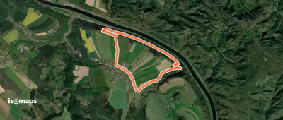
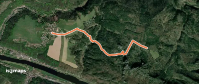
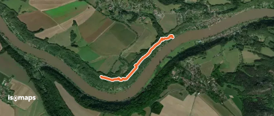
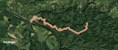
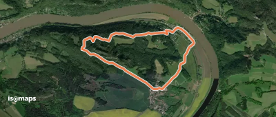
Kleingießhübel, Allemagne

6,33 km +268 m 1h 55min

Très facile
SonnenUhrenWeg
SonnenUhrenWeg

Bad Schandau, Allemagne

2,99 km +136 m 1h 0min

Très facile
TK6
TK6

Bad Schandau, Allemagne

2,06 km +142 m 55min

Très facile
Rundweg Grüner Strich

Hohnstein, Allemagne

9,40 km +431 m 5h 35min

Facile
TK7
TK7

Bad Schandau, Allemagne

3,19 km +62 m 40min

Très facile
Rund um Ulbersdorf
Rund um Ulbersdorf

Goßdorf, Allemagne

15,68 km +644 m 4h 30min

Modéré
Rundweg Hundskirche
Rundweg Hundskirche

Bad Schandau, Allemagne

7,90 km +262 m 2h 0min

Facile
TK9
TK9

Bad Schandau, Allemagne

3,00 km +122 m 50min

Très facile
Roter Strich
Roter Strich

Dohma, Allemagne

4,19 km +218 m 1h 0min

Très facile
Steinbruchpfad
Steinbruchpfad

Stadt Wehlen, Allemagne

1,78 km +195 m 1h 40min

Très facile
Postelwitz - Zeughaus

Großer Teichstein, Allemagne

15,10 km +612 m 4h 20min

Modéré
Tk 14
Tk 14

Stadt Wehlen, Allemagne

5,20 km +194 m 1h 25min

Très facile

Prêt pour votre prochaine sortie ?

Essayez Iso Maps gratuitement pendant 7 jours. Disponible sur iOS et Android.

Télécharger sur iOS Télécharger sur Android APK (sans Google)
Isomaps Vos sorties outdoor, partout, même sans réseau
Installer Installer