Great Dividing Range

123 itinéraires dans Great Dividing Range. Trouvez votre prochain parcours sur Isomaps — cartes topo, GPS et profil altimétrique.

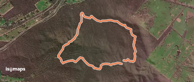
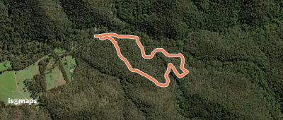
Tabletop Walk
Tabletop Walk

Dinner Plain, Australie

5,30 km +176 m 1h 15min

Très facile
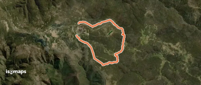
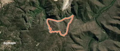
Castle Walking Track

Mount Owen, Australie

6,13 km +968 m 2h 55min

Difficile
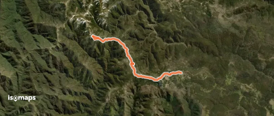
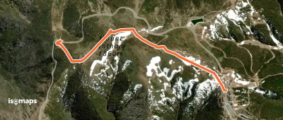
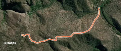
The Cobungra Ditch
The Cobungra Ditch

Hotham Heights, Australie

11,54 km +602 m 4h 30min

Modéré
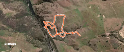
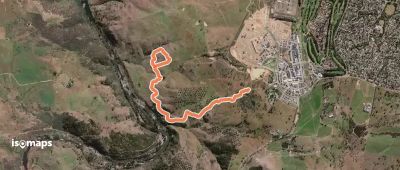
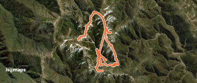
Wagirra Trail
Wagirra Trail

Splitters Creek, Australie

7,74 km +131 m 1h 50min

Très facile
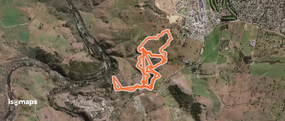
White Box Walking Track

West Wodonga, Australie

7,64 km +178 m 1h 40min

Très facile
Montane Walking Track

Dinner Plain, Australie

9,41 km +301 m 2h 15min

Facile
Brabralung Trail
Brabralung Trail

Hotham Heights, Australie

11,58 km +269 m 2h 35min

Facile
River Descent Tracks

Holt, Australie

3,52 km +175 m 1h 25min

Très facile
Shepherds Lookout Loop

Sturt Island, Australie

7,00 km +316 m 3h 20min

Facile
Yuundu Warruwi Cultural Trail - South Ridge Loop

Long Gully Park, Australie

2,43 km +128 m 50min

Très facile
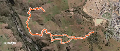
Old Kunderang Bridle Track

Marys View, Australie

9,30 km +788 m 3h 45min

Modéré
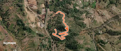
Woodland Loop
Woodland Loop

Holt, Australie

4,45 km +170 m 2h 10min

Très facile
Nguurung Bila Loop
Nguurung Bila Loop

Holt, Australie

3,66 km +128 m 1h 15min

Très facile
Summit Walk
Summit Walk

Mount Hotham, Australie

2,39 km +240 m 1h 20min

Très facile
Peppermint Walk
Peppermint Walk

Falls Creek, Australie

2,87 km +134 m 45min

Très facile
Red Track
Red Track

Mount Ayre, Australie

4,42 km +549 m 2h 35min

Facile
White Track
White Track

Mount Ayre, Australie

2,75 km +468 m 1h 25min

Facile
Myrtle Gully Circuit

Mount Tanglefoot, Australie

8,26 km +468 m 4h 55min

Facile
The Huts Walk
The Huts Walk

Hotham Heights, Australie

12,69 km +1 013 m 9h 15min

Difficile
Tanglefoot Loop
Tanglefoot Loop

Mount Tanglefoot, Australie

9,28 km +457 m 2h 35min

Facile

Prêt pour ta prochaine sortie ?

Essayez Isomaps gratuitement pendant 7 jours. Disponible sur iOS et Android.

Télécharger sur iOS Télécharger sur Android APK (sans Google)
Isomaps Vos sorties outdoor, partout, même sans réseau
Installer Installer