89 itinéraires dans New South Wales. Trouvez votre prochain parcours sur Isomaps — cartes topo, GPS et profil altimétrique.
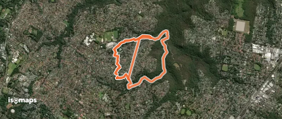
Cherrybrook, Australie
5,23 km +192 m 2h 25min
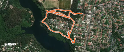
Lane Cove West, Australie
1,68 km +133 m 50min
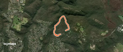
St Ives Chase, Australie
2,74 km +130 m 55min
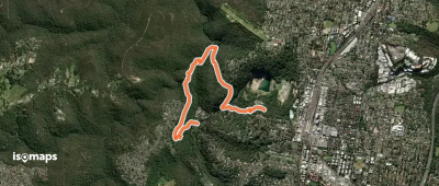
Westleigh, Australie
4,00 km +298 m 1h 25min
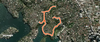
Wollstonecraft, Australie
2,90 km +201 m 1h 55min
Essayez Isomaps gratuitement pendant 7 jours. Disponible sur iOS et Android.