8,548 itinéraires dans Alpes du Nord. Trouvez votre prochain parcours sur Isomaps — cartes topo, GPS et profil altimétrique.

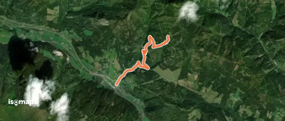

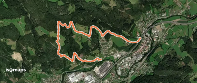
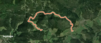
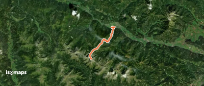
Berndorf, Autriche
11,30 km +715 m 3h 15min
Modéré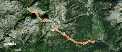
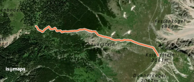
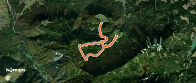
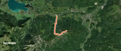
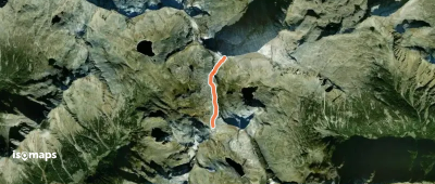
Klosterwappen, Autriche
1,94 km +526 m 1h 10min
Facile

Essayez Isomaps gratuitement pendant 7 jours. Disponible sur iOS et Android.
