8,548 itinéraires dans Alpes du Nord. Trouvez votre prochain parcours sur Isomaps — cartes topo, GPS et profil altimétrique.
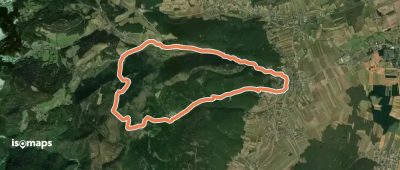
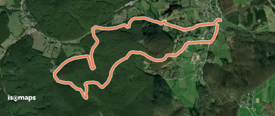
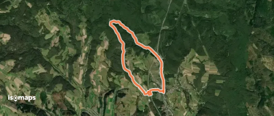
Hettmannsdorf, Autriche
12,18 km +489 m 3h 15min
Facile
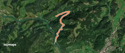
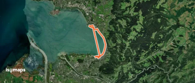
Wolfsgraben, Autriche
8,80 km +244 m 1h 55min
Facile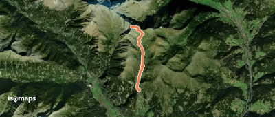


Essayez Isomaps gratuitement pendant 7 jours. Disponible sur iOS et Android.
