8,548 itinéraires dans Alpes du Nord. Trouvez votre prochain parcours sur Isomaps — cartes topo, GPS et profil altimétrique.

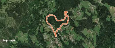

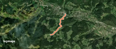
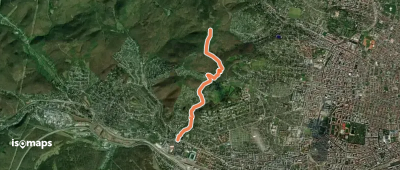
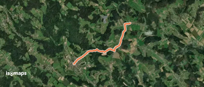
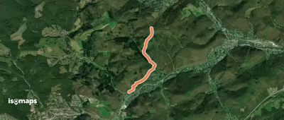
Penzing, Autriche
4,04 km +262 m 1h 5min
Très facile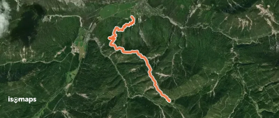
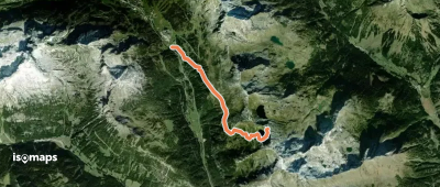
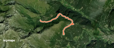
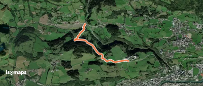
Untertullnerbach, Autriche
3,12 km +237 m 1h 0min
Très facile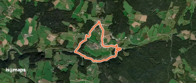
Essayez Isomaps gratuitement pendant 7 jours. Disponible sur iOS et Android.
