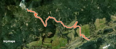
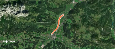
8,548 itinéraires dans Alpes du Nord. Trouvez votre prochain parcours sur Isomaps — cartes topo, GPS et profil altimétrique.
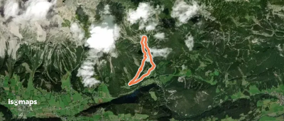
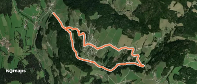

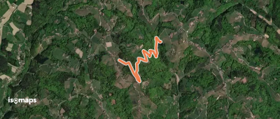
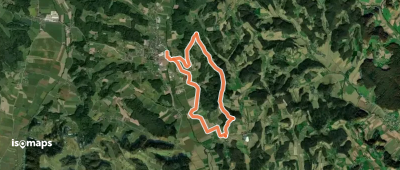
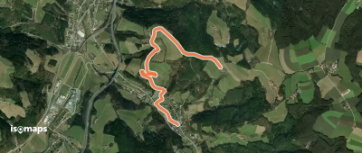
Steindorf am Ossiacher See, Autriche
6,90 km +32 m 1h 25min
Très facile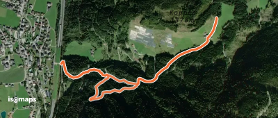
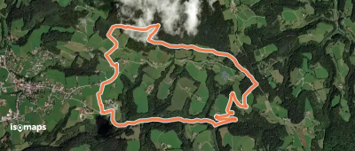


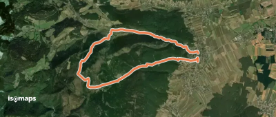
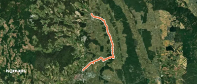
Würflach, Autriche
11,46 km +523 m 3h 5min
FacileEssayez Iso Maps gratuitement pendant 7 jours. Disponible sur iOS et Android.
