Alpes du Nord

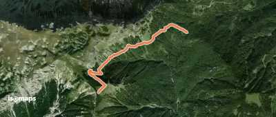
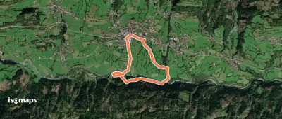
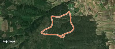
8,548 itinéraires dans Alpes du Nord. Trouvez votre prochain parcours sur Isomaps — cartes topo, GPS et profil altimétrique.

Waldweg Talstation Doppelsessellift (Losenheim)

Losenheim, Autriche

4,53 km +329 m 2h 15min

Facile
Rundweg 4
Rundweg 4

Würflach, Autriche

4,94 km +231 m 1h 25min

Très facile
Alpe Adria Trail E10

Hühnersberg, Autriche

23,04 km +997 m 7h 10min

Difficile
Wanderweg 91
Wanderweg 91

Kleinwöllmiss, Autriche

12,67 km +515 m 4h 20min

Modéré
Wanderweg 44
Wanderweg 44

Zanitzenhöhe, Autriche

3,98 km +142 m 1h 0min

Très facile
Wanderweg 865
Wanderweg 865

Windgrube, Autriche

3,07 km +45 m 1h 15min

Très facile
Weg der Sinne
Weg der Sinne

Virgen, Autriche

3,51 km +206 m 1h 5min

Très facile
Weißeck 3a
Weißeck 3a

Sankt Georgen ob Judenburg, Autriche

8,40 km +1 061 m 2h 55min

Difficile
Sportschule Lindabrunn - Hölles/Bründl

Lindabrunn, Autriche

4,64 km +122 m 1h 0min

Très facile
Christmettenwegrundweg

Alpl, Autriche

14,11 km +711 m 4h 10min

Modéré
Au-Runde
Au-Runde

Assach, Autriche

4,91 km +151 m 1h 20min

Très facile
Wanderweg 814
Wanderweg 814

Leonsberg, Autriche

4,79 km +130 m 2h 55min

Très facile
Zillertal Wanderweg 20

Hintertux, Autriche

10,42 km +1 192 m 11h 20min

Difficile
Wanderweg 347
Wanderweg 347

Neuberg, Autriche

4,74 km +330 m 2h 15min

Facile
Dörfl - Großau
Dörfl - Großau

Dörfl, Autriche

1,71 km +253 m 40min

Très facile
OSM Route 16465626
OSM Route 16465626

Vals, Autriche

5,53 km +1 135 m 3h 5min

Difficile
OSM Route 16526302
OSM Route 16526302

Ausserweg, Autriche

2,72 km +354 m 1h 10min

Facile
OSM Route 17097563
OSM Route 17097563

Waidring, Autriche

10,33 km +1 751 m 5h 40min

Très difficile
Stuhleckstraße - Gasthaus Eichtbauer - Rotes Kreuz

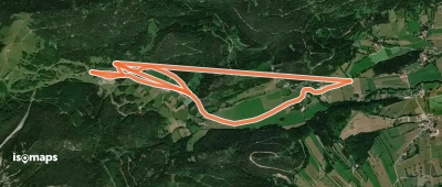
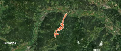
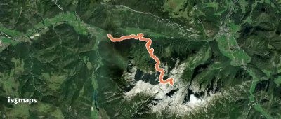
Spital am Semmering, Autriche

2,77 km +202 m 50min

Très facile
Wanderweg Sajathuette

Sankt Andrä, Autriche

4,91 km +1 103 m 3h 15min

Difficile

Prêt pour votre prochaine sortie ?

Essayez Iso Maps gratuitement pendant 7 jours. Disponible sur iOS et Android.

Télécharger sur iOS Télécharger sur Android APK (sans Google)