10,779 itinéraires dans Vlaanderen. Trouvez votre prochain parcours sur Isomaps — cartes topo, GPS et profil altimétrique.
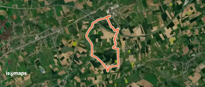
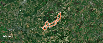
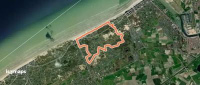
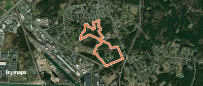
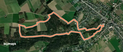
Grote Heide, België / Belgique / Belgien
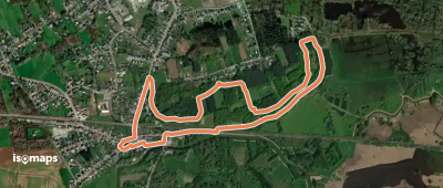
3,90 km +11 m 45min
Très facile

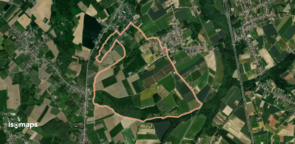
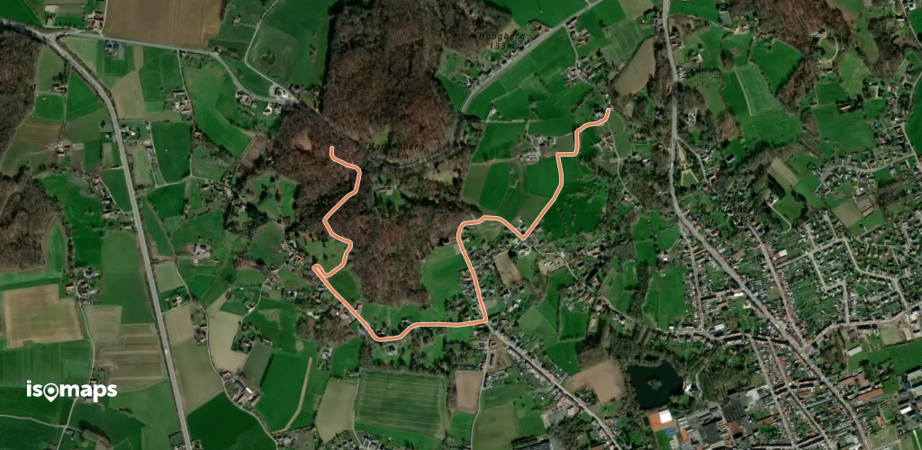
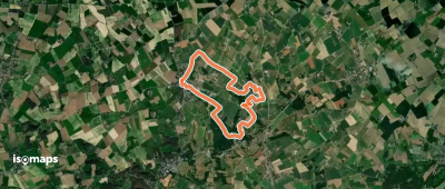
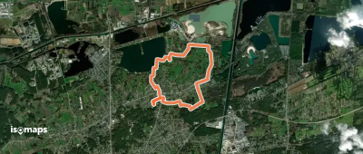
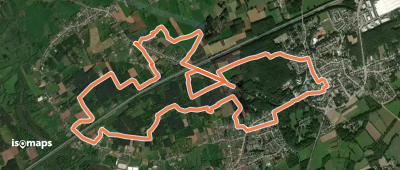
Opitter, België / Belgique / Belgien
4,29 km +104 m 1h 0min
Très facile
Essayez Isomaps gratuitement pendant 7 jours. Disponible sur iOS et Android.
