1,816 itinéraires dans Wallonie. Trouvez votre prochain parcours sur Isomaps — cartes topo, GPS et profil altimétrique.
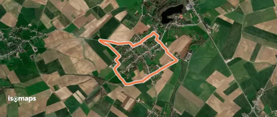
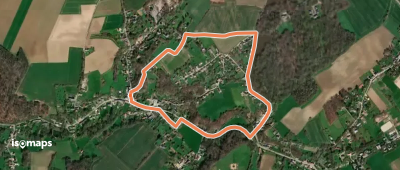
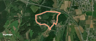
Opprebais, België / Belgique / Belgien
3,86 km +46 m 45min
Très facile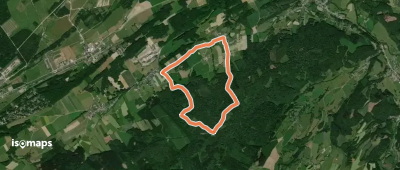
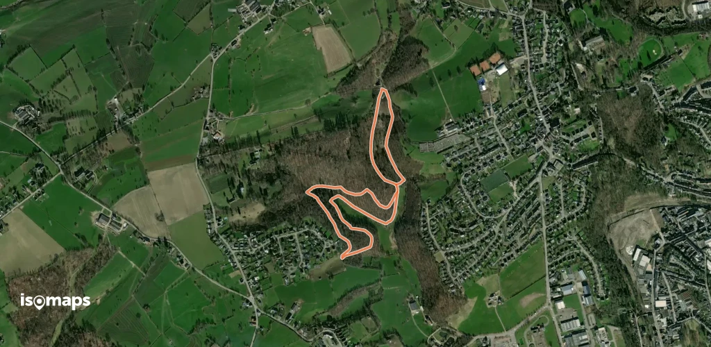
Piétrebais, België / Belgique / Belgien
2,62 km +62 m 35min
Très facile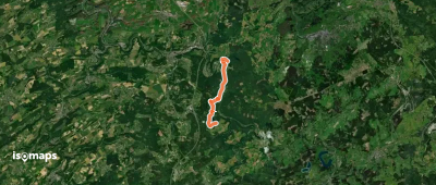
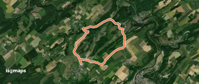
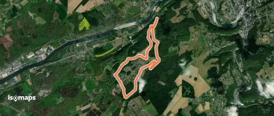
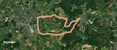
Sedoz, België / Belgique / Belgien
8,80 km +354 m 2h 30min
Facile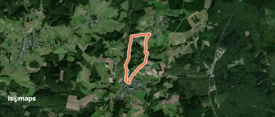
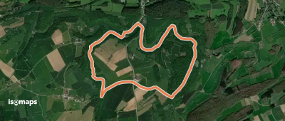
Piétrebais, België / Belgique / Belgien
4,88 km +94 m 1h 5min
Très facile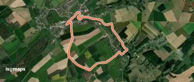

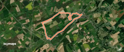
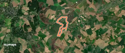
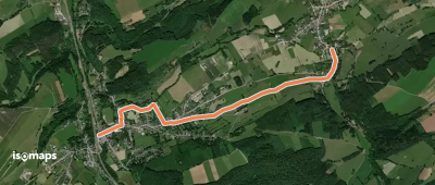
Arlon, België / Belgique / Belgien
3,80 km +104 m 50min
Très facile
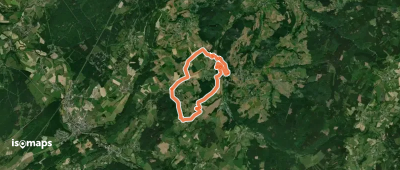
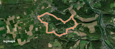
Eischen, België / Belgique / Belgien
10,29 km +225 m 2h 20min
Facile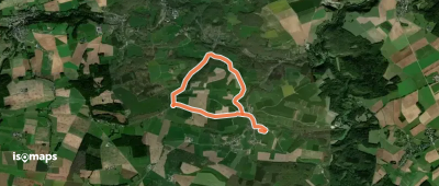
Essayez Isomaps gratuitement pendant 7 jours. Disponible sur iOS et Android.
