1,816 itinéraires dans Wallonie. Trouvez votre prochain parcours sur Isomaps — cartes topo, GPS et profil altimétrique.
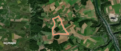
Soulme, België / Belgique / Belgien
29,57 km +764 m 7h 0min
Difficile
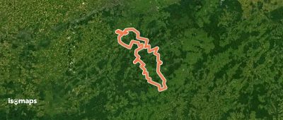
Trou Malbrouck, België / Belgique / Belgien
4,84 km +76 m 1h 0min
Très facile
Assesse, België / Belgique / Belgien
5,49 km +82 m 1h 10min
Très facile
Thirimont, België / Belgique / Belgien
6,09 km +95 m 1h 15min
Très facile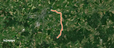
Martaimont, België / Belgique / Belgien
6,69 km +139 m 1h 25min
Très facile
Hermée, België / Belgique / Belgien
6,73 km +105 m 1h 25min
Très facile

Chaumont-Gistoux, België / Belgique / Belgien
4,82 km +45 m 1h 0min
Très facile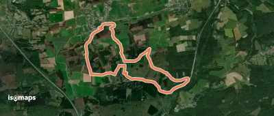
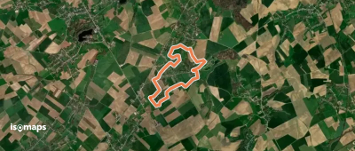
Tellin, België / Belgique / Belgien
12,12 km +357 m 2h 50min
Facile
Vieuxville, België / Belgique / Belgien
5,18 km +111 m 1h 10min
Très facile

Comblain-au-Pont, België / Belgique / Belgien
187,06 km +5 933 m 47h 30min
Très difficile

Essayez Iso Maps gratuitement pendant 7 jours. Disponible sur iOS et Android.
