24 itinéraires dans Región de Los Ríos. Trouvez votre prochain parcours sur Isomaps — cartes topo, GPS et profil altimétrique.
Refugio Villarrica, Chili
76,23 km +3 977 m 27h 35min
Cerro Azul, Chili
3,25 km +296 m 1h 10min
Corral, Chili
7,11 km +157 m 2h 35min
9,97 km +367 m 3h 35min
4,56 km +220 m 1h 15min
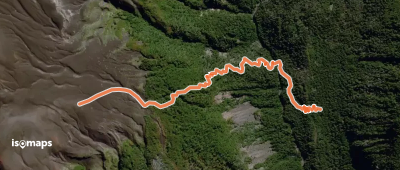
Refugio Choshuenco, Chili
4,55 km +61 m 1h 30min
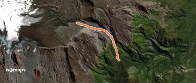
Cajón Negro, Chili
2,79 km +430 m 1h 15min
3,98 km +490 m 1h 30min
Essayez Isomaps gratuitement pendant 7 jours. Disponible sur iOS et Android.