Washington

1,047 itinéraires dans Washington. Trouvez votre prochain parcours sur Isomaps — cartes topo, GPS et profil altimétrique.

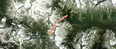
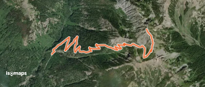
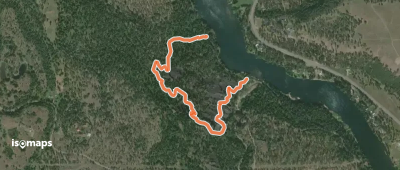
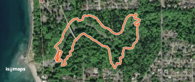
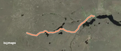
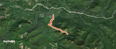
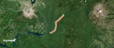
Odessa Lake Creek Trail

Odessa, États-Unis

21,16 km +360 m 4h 30min

Difficile
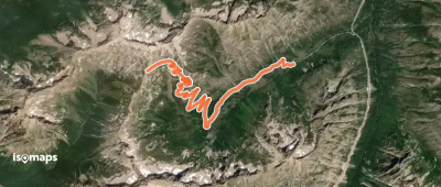
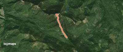
Longs Pass Trail
Longs Pass Trail

Esmeralda Peaks, États-Unis

3,63 km +299 m 1h 50min

Facile
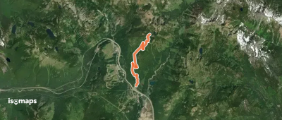
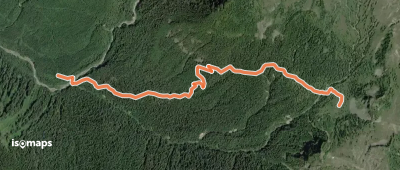
Carne Mountain Trail

Trinity, États-Unis

5,92 km +1 151 m 3h 45min

Difficile
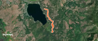
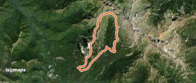
Ice Creek Trail
Ice Creek Trail

North Spectacle Butte, États-Unis

21,18 km +414 m 6h 35min

Difficile
Olymic Coast North
Olymic Coast North

Little James Island, États-Unis

51,43 km +1 758 m 14h 30min

Très difficile
Cutthroat Creek Trail

Hinkhouse Peak, États-Unis

8,88 km +784 m 3h 5min

Modéré
Boulder Ridge Trail
Boulder Ridge Trail

Talum Glaciers, États-Unis

3,06 km +45 m 50min

Très facile
Kendall Peak Lakes Trail

Snoqualmie Pass, États-Unis

6,67 km +641 m 2h 15min

Modéré
Zephyr Connector Trail

Kramer Hill, États-Unis

4,62 km +220 m 3h 5min

Très facile
Interpretive Loop Trail

Nine Mile Falls, États-Unis

1,96 km +135 m 50min

Très facile
Yellow Loop
Yellow Loop

Saltwater State Park, États-Unis

2,29 km +128 m 1h 0min

Très facile
Lakeview Crater Trail

Town of Odessa, États-Unis

3,43 km +24 m 40min

Très facile
Osborne Mountain Trail #250

Big Creek Campground, États-Unis

7,86 km +1 008 m 3h 35min

Difficile
Lewis River Trail
Lewis River Trail

Curly Creek Campground, États-Unis

22,38 km +1 553 m 9h 20min

Très difficile
High Rock Trail #266

High Rock, États-Unis

2,58 km +416 m 1h 5min

Facile
Ridley Creek Trail
Ridley Creek Trail

Cathedral Crag, États-Unis

4,90 km +127 m 1h 55min

Très facile
Goat Lake Loop
Goat Lake Loop

Berry Patch, États-Unis

19,91 km +1 015 m 6h 35min

Difficile
Whittier Ridge Trail

Mount Whittier, États-Unis

3,19 km +394 m 3h 15min

Facile
Spray Park Loop
Spray Park Loop

Fay Peak, États-Unis

25,73 km +2 068 m 11h 40min

Très difficile
Lake Isabel Trail
Lake Isabel Trail

Reiter, États-Unis

5,58 km +788 m 2h 45min

Modéré

Prêt pour votre prochaine sortie ?

Essayez Isomaps gratuitement pendant 7 jours. Disponible sur iOS et Android.

Télécharger sur iOS Télécharger sur Android APK (sans Google)
Isomaps Vos sorties outdoor, partout, même sans réseau
Installer Installer