220 itinéraires dans Wisconsin. Trouvez votre prochain parcours sur Isomaps — cartes topo, GPS et profil altimétrique.
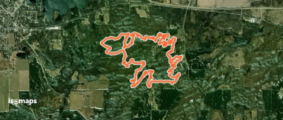


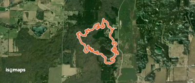
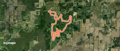
Eagle Oak Opening State Natural Area, États-Unis
2,40 km +96 m 1h 5min
Très facile
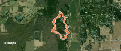
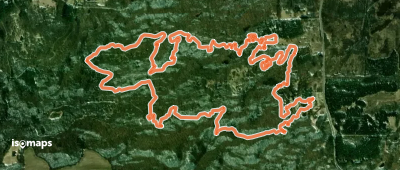
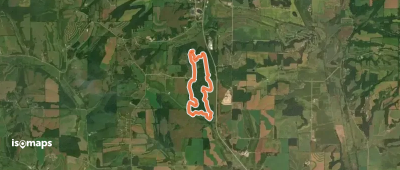
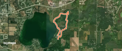
Boulder Lake Campground, États-Unis
2,59 km +90 m 40min
Très facile

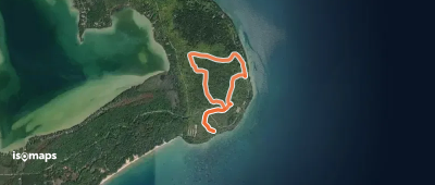
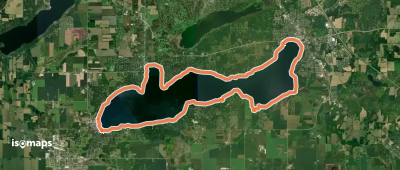
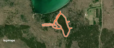
Peninsula Park Beech Forest State Natural Area, États-Unis
3,60 km +236 m 1h 35min
Facile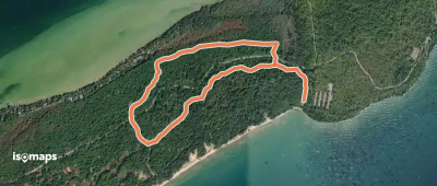
Essayez Isomaps gratuitement pendant 7 jours. Disponible sur iOS et Android.
