1,772 itinéraires dans Grand Est. Trouvez votre prochain parcours sur Isomaps — cartes topo, GPS et profil altimétrique.
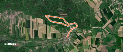
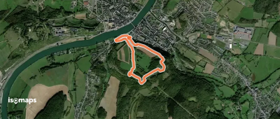
Raedersdorf, France
3,39 km +123 m 50min
Très facile
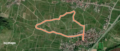
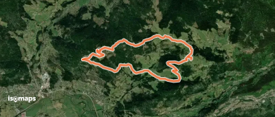
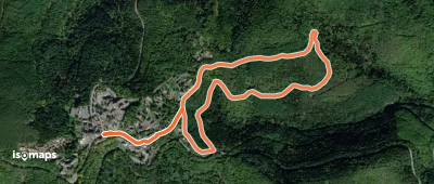




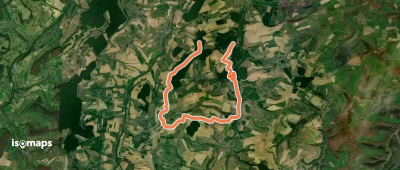

Trois-Fontaines-lAbbaye, France
82,35 km +1 073 m 17h 5min
Très difficile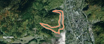

Essayez Isomaps gratuitement pendant 7 jours. Disponible sur iOS et Android.


