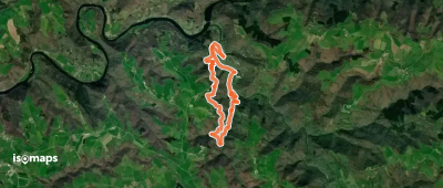
Massif Central

3,015 itinéraires dans Massif Central. Trouvez votre prochain parcours sur Isomaps — cartes topo, GPS et profil altimétrique.
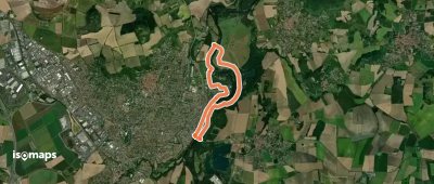
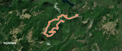
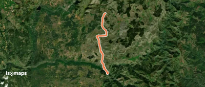
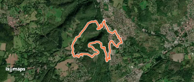
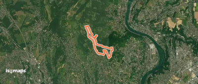
Circuit d'Aigueperse

Aigueperse, France

19,90 km +695 m 5h 10min

Modéré
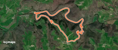
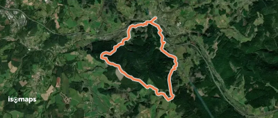
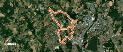
Tour du Larzac Méridional

La Vacquerie-et-Saint-Martin-de-Castries, France

88,91 km +3 283 m 28h 35min

Très difficile
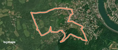
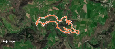
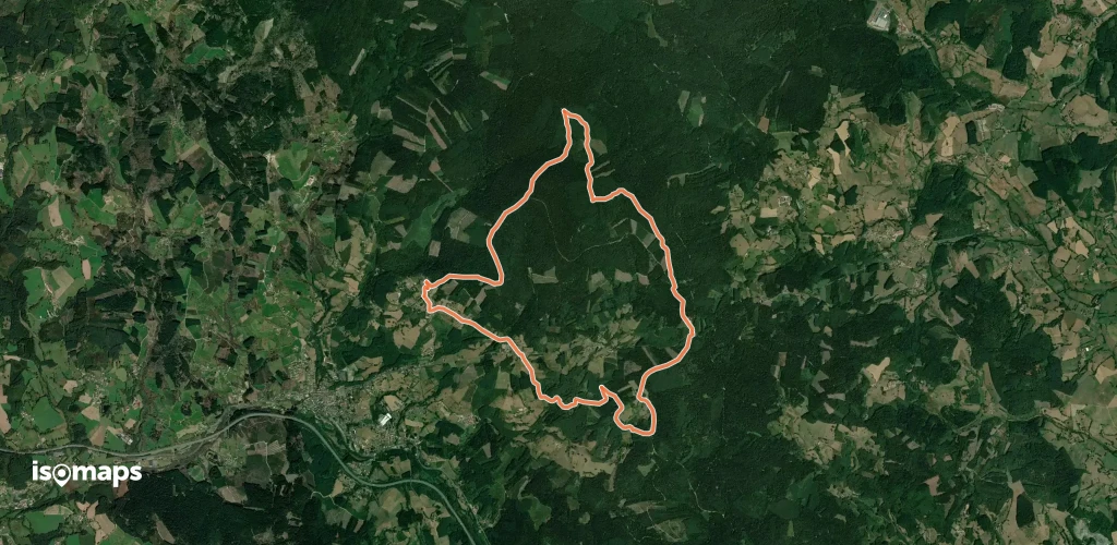
Gamondès - Le Soupley

La Grézière, France

3,07 km +18 m 1h 30min

Très facile
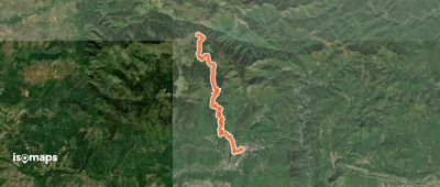
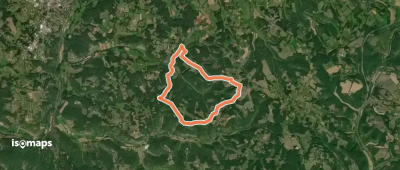
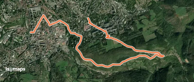
Plaine des Rompudes - Basse Lieure

Ailhon, France

2,70 km +118 m 50min

Très facile
Sentier du Mont Redon

Sauclières, France

6,25 km +235 m 1h 50min

Facile
Saint-Jean-le-Centenier - Font Nègre

Saint-Jean-le-Centenier, France

2,83 km +112 m 50min

Très facile
Le Courtiol - La Gonthier

Chirols, France

3,29 km +130 m 1h 40min

Facile
Autour du bois de Crozat

Grand Grammont, France

13,92 km +397 m 3h 25min

Facile
La Paille - Le Soupley

Saint-Julien-du-Gua, France

3,46 km +218 m 1h 15min

Facile
Jarnias - Le Thérond

Saint-Jean-le-Centenier, France

2,45 km +140 m 45min

Très facile
La Flandonenque
La Flandonenque

Mont Mars, France

9,16 km +503 m 4h 5min

Modéré
Chemin de Choupierre

Germagny, France

2,65 km +101 m 40min

Très facile
Le Pont - La Paille
Le Pont - La Paille

Saint-Joseph-des-Bancs, France

3,75 km +362 m 1h 35min

Facile
Le Lac d'Aydat
Le Lac d'Aydat

Aydat, France

12,89 km +356 m 3h 5min

Facile
Chemin de Pissevache

Germagny, France

3,45 km +111 m 50min

Très facile
Roche-Savine
Roche-Savine

Barbaliche, France

12,26 km +513 m 3h 10min

Facile
La Chavade - Bel-Air

La Chavade, France

2,40 km +120 m 35min

Très facile
Le Ravin de l'Enfer
Le Ravin de l'Enfer

Vimbouches, France

10,31 km +757 m 5h 10min

Difficile
Sentier d'Auriol
Sentier d'Auriol

Saint-Étienne-Vallée-Française, France

9,31 km +539 m 4h 10min

Modéré

Prêt pour votre prochaine sortie ?

Essayez Iso Maps gratuitement pendant 7 jours. Disponible sur iOS et Android.

Télécharger sur iOS Télécharger sur Android APK (sans Google)
Isomaps Vos sorties outdoor, partout, même sans réseau
Installer Installer