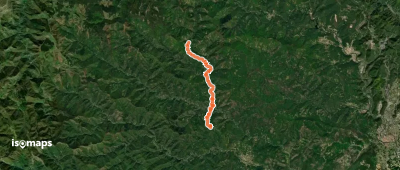
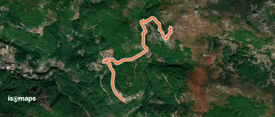
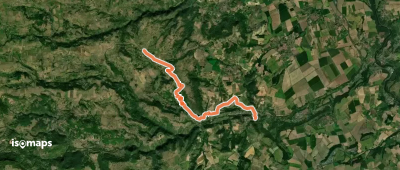
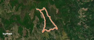
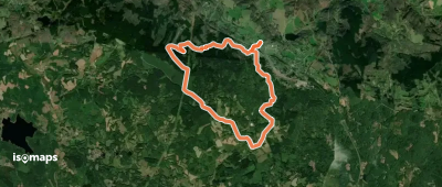
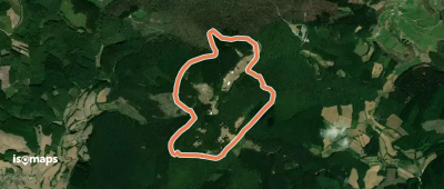
3,015 itinéraires dans Massif Central. Trouvez votre prochain parcours sur Isomaps — cartes topo, GPS et profil altimétrique.
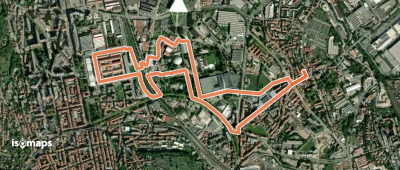
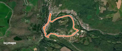
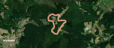
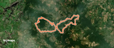
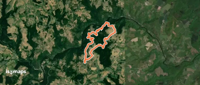
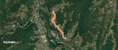
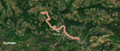
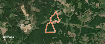
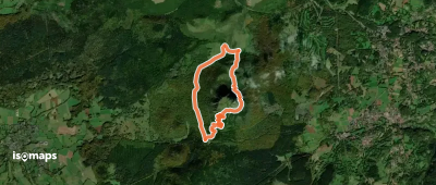
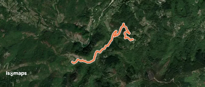
Saint-Sernin-sur-Rance, France
2,62 km +122 m 55min
Très facile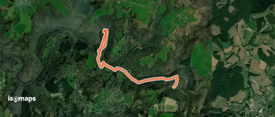
Essayez Isomaps gratuitement pendant 7 jours. Disponible sur iOS et Android.
