97 itinéraires dans Αποκεντρωμένη Διοίκηση Κρήτης. Trouvez votre prochain parcours sur Isomaps — cartes topo, GPS et profil altimétrique.
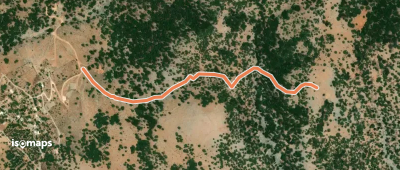
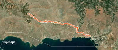
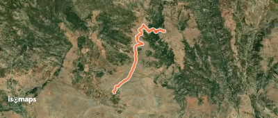
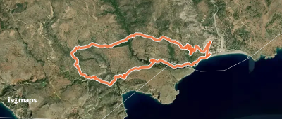

Paleochora, Ελλάς
13,99 km +1 068 m 5h 0min
Difficile

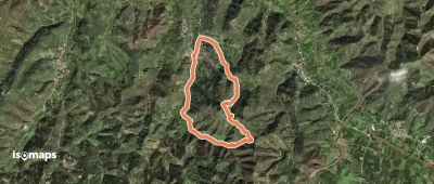
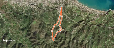
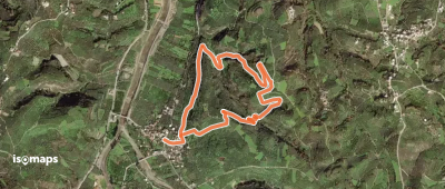
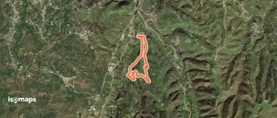
Paleochora, Ελλάς
13,75 km +14 632 m 5h 0min
Difficile
Essayez Isomaps gratuitement pendant 7 jours. Disponible sur iOS et Android.
