Alpes du Nord

66 itinéraires dans Alpes du Nord. Trouvez votre prochain parcours sur Isomaps — cartes topo, GPS et profil altimétrique.
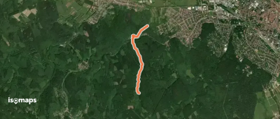
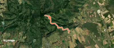
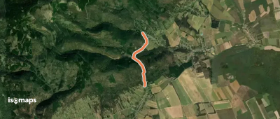
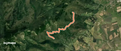
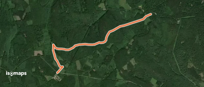
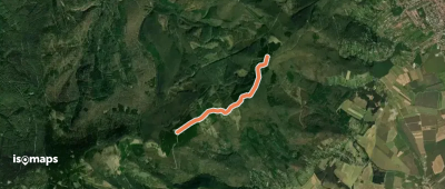
K+

Ágfalva, Hongrie

3,12 km +233 m 55min

Très facile
KT, Ciklámen tanösvény

Sopron, Hongrie

8,44 km +404 m 2h 20min

Facile
Források útja

Velem, Hongrie

7,16 km +494 m 2h 10min

Facile
Roth Gyula Emlékerdő tanösvény

Sieggraben, Hongrie

3,25 km +207 m 1h 0min

Très facile
Via mariae M03 - The Central European Pilgrimway

Mariazell, Hongrie

312,05 km +10 817 m 76h 10min

Très difficile
K+ (Szent Vid-kápolna)

Velem, Hongrie

3,28 km +248 m 55min

Très facile
Alpannonia Anschlussweg

Velem, Hongrie

4,50 km +433 m 1h 20min

Facile
RPDDK 1/1 (Írott-kő – Bozsok)

Bozsok, Hongrie

7,89 km +690 m 2h 20min

Modéré
K+ (Szent Vid-kápolna)

Velem, Hongrie

1,66 km +231 m 35min

Très facile
P+ (P – Brennbergbánya – Havas-bérc – K)

Óbrennberg, Hongrie

3,40 km +259 m 1h 0min

Très facile
K+

Kendig, Hongrie

3,06 km +228 m 50min

Très facile
K+

Velem, Hongrie

2,42 km +77 m 35min

Très facile
P●

Irány-hegy, Hongrie

4,91 km +342 m 1h 30min

Facile
S+ (Vöröskereszt – Pogányok)

Kendi Hegy, Hongrie

3,35 km +31 m 45min

Très facile
Z

Kőszeg, Hongrie

7,27 km +336 m 1h 55min

Facile
ZT (vadászati tanösvény)

Fáber réti erdészház, Hongrie

3,68 km +183 m 55min

Très facile
Borsó-hegy

Loipersbach im Burgenland, Hongrie

2,35 km +133 m 35min

Très facile
E4 európai hosszútávú turistaút (magyarországi szakasz)

Rattersdorf, Hongrie

1 714,29 km +43 547 m 396h 40min

Très difficile
K+ (Hotel Lővér aut. m. – Sípálya – Bögre-forrás)

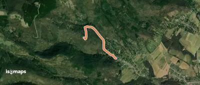
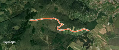
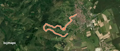
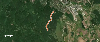
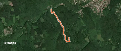
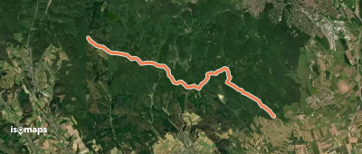
Gida-pataki tó, Hongrie

2,35 km +85 m 35min

Très facile

Prêt pour votre prochaine sortie ?

Essayez Iso Maps gratuitement pendant 7 jours. Disponible sur iOS et Android.

Télécharger sur iOS Télécharger sur Android APK (sans Google)