105 itinéraires dans Balaton-felvidék. Trouvez votre prochain parcours sur Isomaps — cartes topo, GPS et profil altimétrique.
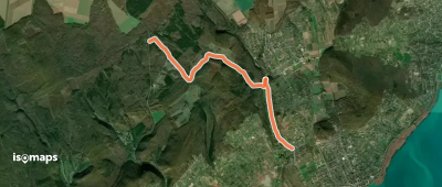
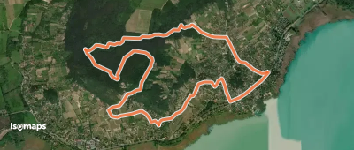
Szentbékkálla, Hongrie
11,58 km +368 m 2h 55min
Facile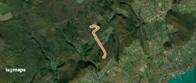
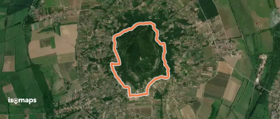
Veszprém, Hongrie
2,43 km +74 m 30min
Très facile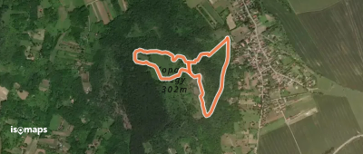
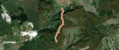
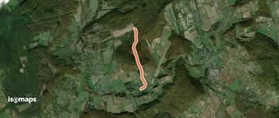
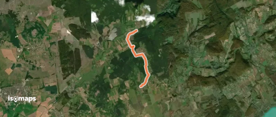
Sándor János-fűrésztelep, Hongrie
3,52 km +219 m 1h 0min
Très facile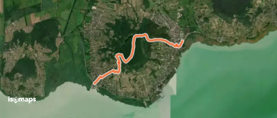
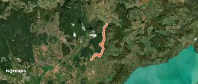
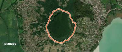
Badacsonylábdihegy, Hongrie
5,86 km +346 m 1h 55min
Facile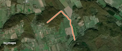
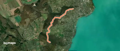
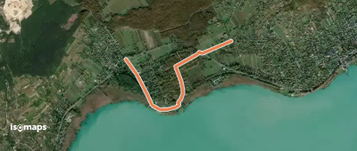
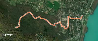
Alsóörs, Hongrie
4,89 km +125 m 1h 10min
Très facile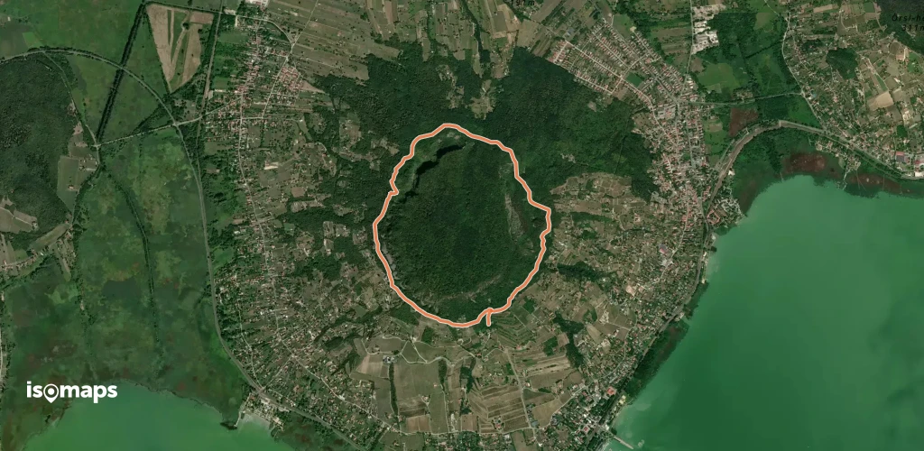
Alsóörs, Hongrie
2,85 km +19 m 40min
Très facile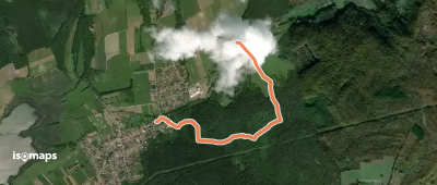

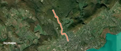
Veszprém, Hongrie
4,74 km +32 m 55min
Très facile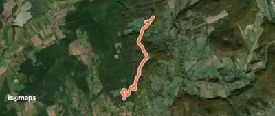
Essayez Isomaps gratuitement pendant 7 jours. Disponible sur iOS et Android.
