57 itinéraires dans Vértes. Trouvez votre prochain parcours sur Isomaps — cartes topo, GPS et profil altimétrique.
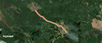
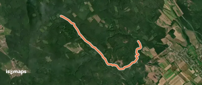
Nagyhegy, Hongrie
4,03 km +90 m 55min
Très facile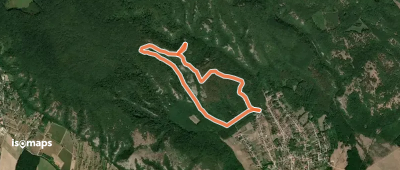
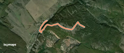
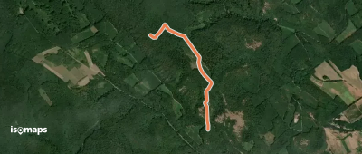
Szárliget, Hongrie
12,46 km +490 m 3h 10min
Facile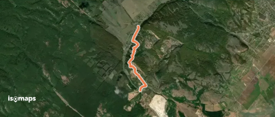
Essayez Isomaps gratuitement pendant 7 jours. Disponible sur iOS et Android.
