20 itinéraires dans Villányi-hegység. Trouvez votre prochain parcours sur Isomaps — cartes topo, GPS et profil altimétrique.
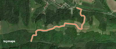
Palkonya, Hongrie
2,13 km +100 m 35min
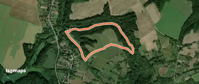
Tenkes, Hongrie
6,10 km +292 m 1h 45min
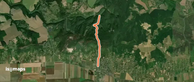
Túrony, Hongrie
2,38 km +70 m 30min
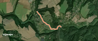
Szabótanya, Hongrie
3,10 km +220 m 1h 5min
1,96 km +159 m 30min
Essayez Isomaps gratuitement pendant 7 jours. Disponible sur iOS et Android.