78 itinéraires dans Zselic. Trouvez votre prochain parcours sur Isomaps — cartes topo, GPS et profil altimétrique.
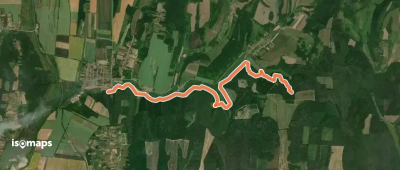
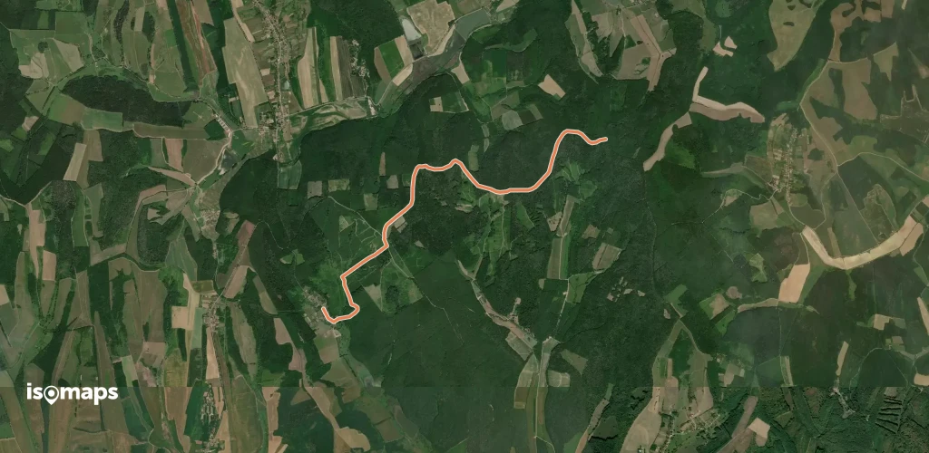
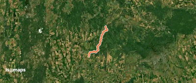
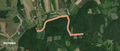
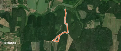
Úrhegyipuszta, Hongrie
6,86 km +141 m 1h 30min
Très facile
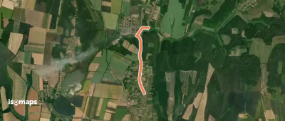
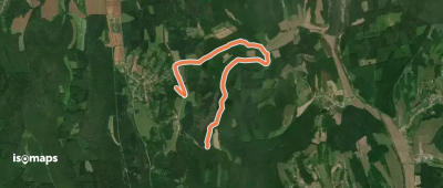
Kaposvár, Hongrie
3,06 km +59 m 45min
Très facile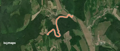
Essayez Isomaps gratuitement pendant 7 jours. Disponible sur iOS et Android.
