546 itinéraires dans हिमालय / 喜马拉雅山脉 / Himalayas. Trouvez votre prochain parcours sur Isomaps — cartes topo, GPS et profil altimétrique.
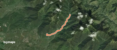
Ganehr, India
4,30 km +558 m 2h 0min
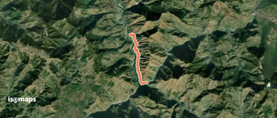
Lārji, India
6,66 km +957 m 4h 45min
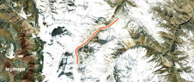
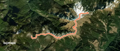
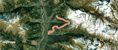
Sirsir La, India
9,07 km +561 m 2h 20min
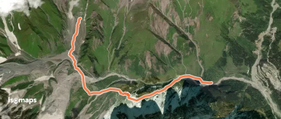
Manali, India
5,34 km +835 m 2h 20min
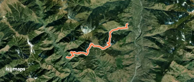
Grāmag, India
16,08 km +2 214 m 9h 45min
Keori, India
3,53 km +162 m 1h 0min
Matrūn, India
4,55 km +625 m 2h 15min
Laulsara, India
4,84 km +523 m 2h 45min
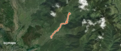
Belak Pass, India
10,67 km +1 204 m 5h 0min
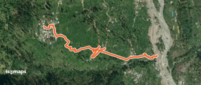
Jagatsukh, India
1,28 km +328 m 1h 50min
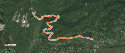
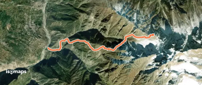
Khaleti-dā-Darun, India
15,03 km +554 m 4h 45min
1,43 km +275 m 55min
9,43 km +2 208 m 6h 35min
3,72 km +647 m 2h 35min
4,99 km +298 m 2h 40min
Haladua, India
3,64 km +829 m 1h 55min
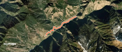
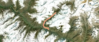
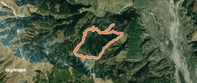
Dākho Dogri, India
9,10 km +3 061 m 8h 0min
Majhach, India
5,45 km +709 m 3h 15min
12,06 km +1 771 m 6h 55min
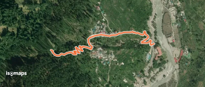
Nagar, India
3,07 km +787 m 2h 5min
Essayez Isomaps gratuitement pendant 7 jours. Disponible sur iOS et Android.