Irlande

488 itinéraires dans Irlande. Trouvez votre prochain parcours sur Isomaps — cartes topo, GPS et profil altimétrique.

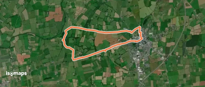
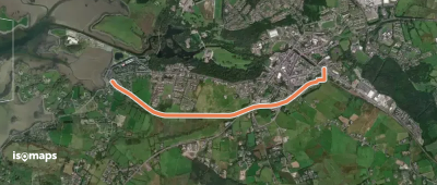
River Walk
River Walk

Killarney, Irlande

2,93 km +55 m 40min

Très facile
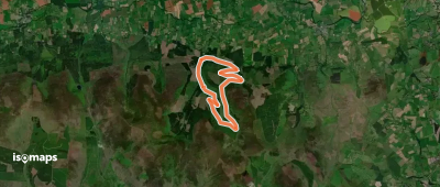
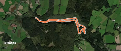
High King Loop
High King Loop

Camus Bridge, Irlande

9,29 km +96 m 1h 55min

Facile
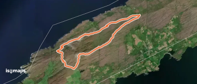
Liam Lynch Loop walk

Knockballiniry, Irlande

11,11 km +368 m 2h 45min

Facile
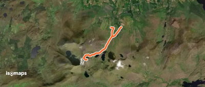
Brother O'Shea's Gully (Cummeenoughter) Route

Carrauntoohill, Irlande

6,85 km +107 m 5h 55min

Très facile
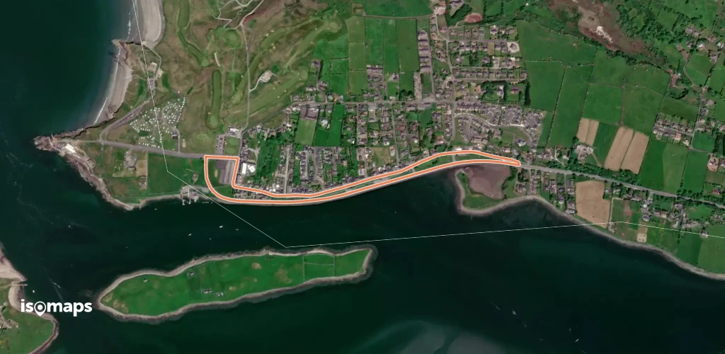
Derryounce Walk (Red Loop)

Portarlington, Irlande

8,05 km +57 m 1h 35min

Facile
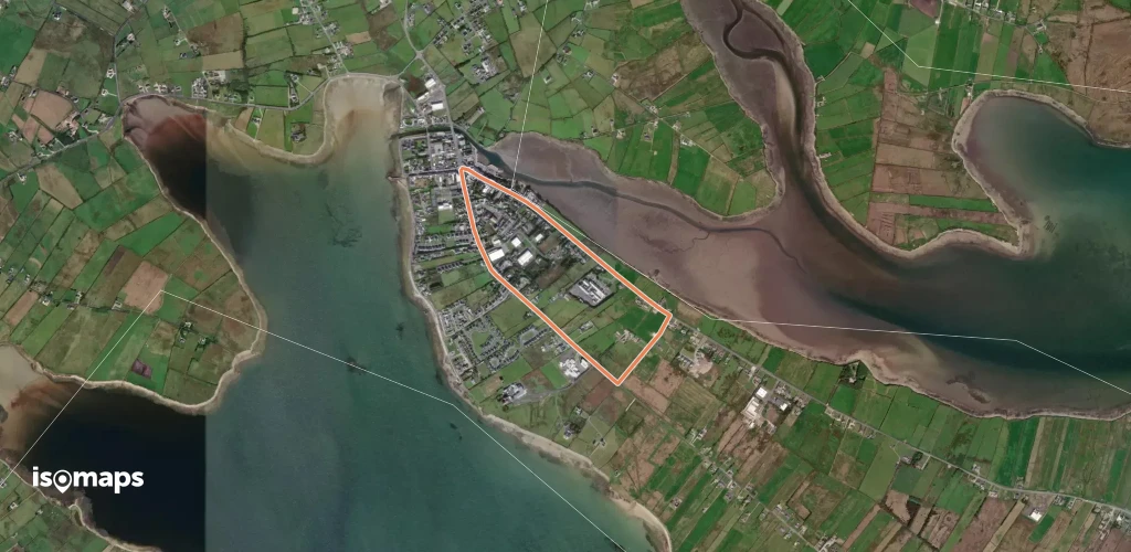
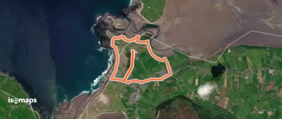
Rosses Point Slí na Sláinte

Rosses Point, Irlande

2,78 km +54 m 35min

Très facile
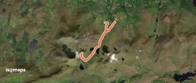
Devil's Ladder Route

Carrauntoohill, Irlande

7,07 km +49 m 5h 15min

Très facile
Belmullet Slí na Sláinte

Belmullet, Irlande

3,12 km +24 m 40min

Très facile
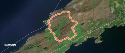
Sheep's Head - Cahergal Loop

Ballyroon, Irlande

8,58 km +331 m 2h 10min

Facile
Westport Slí na Sláinte

Westport Quay, Irlande

2,52 km +52 m 35min

Très facile
The Devil's Glen - Waterfall Walk

Tomcoyle Lower, Irlande

4,87 km +212 m 1h 35min

Facile
Skellig Monastery
Skellig Monastery

Skellig Michael, Irlande

2,91 km +534 m 1h 50min

Très difficile
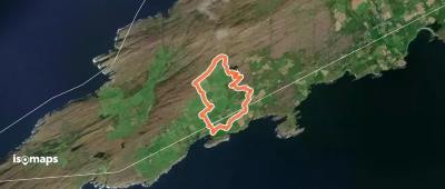
Sheep's Head - Caher Loop

Caher, Irlande

5,63 km +201 m 1h 30min

Très facile
Peakeen Ridge Loop Walk

Caher Mountain, Irlande

10,91 km +421 m 2h 45min

Facile
De Buitléar Way
De Buitléar Way

Bray, Irlande

4,21 km +186 m 1h 15min

Très facile
Darby's Bed Walk Loop

Galbally, Irlande

2,75 km +90 m 45min

Très facile
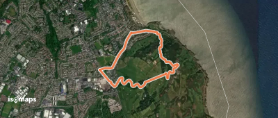
Killaspugbrone Loop
Killaspugbrone Loop

Strandhill, Irlande

8,36 km +104 m 1h 45min

Très difficile
Ards Forest - Red Walk

Cashelmore, Irlande

14,55 km +464 m 3h 25min

Facile
Caher (Coomloughra) Route

Derryfanga, Irlande

6,33 km +1 093 m 2h 50min

Difficile
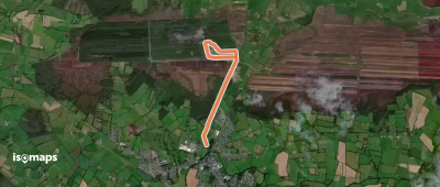
Bog Lake Walk
Bog Lake Walk

Portarlington, Irlande

3,71 km +17 m 45min

Très facile

Prêt pour votre prochaine sortie ?

Essayez Isomaps gratuitement pendant 7 jours. Disponible sur iOS et Android.

Télécharger sur iOS Télécharger sur Android APK (sans Google)
Isomaps Vos sorties outdoor, partout, même sans réseau
Installer Installer