静岡県

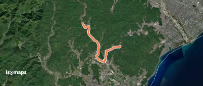
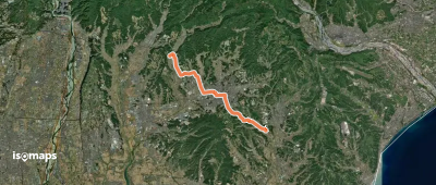
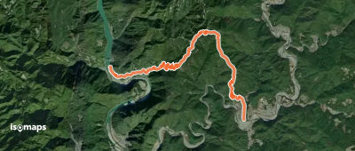
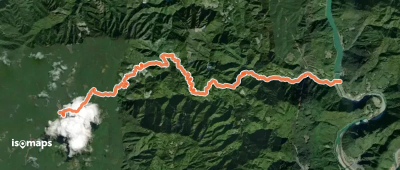
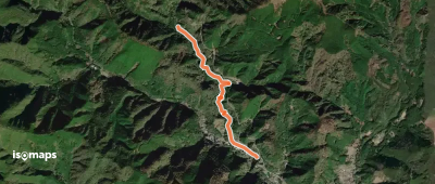
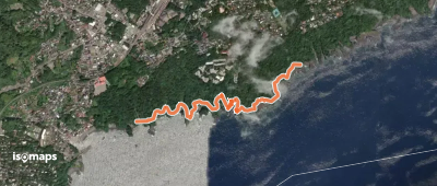
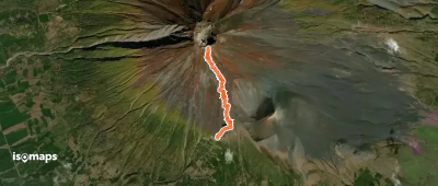
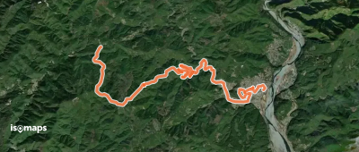
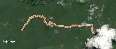
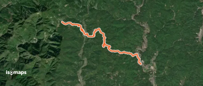
28 itinéraires dans 静岡県. Trouvez votre prochain parcours sur Isomaps — cartes topo, GPS et profil altimétrique.

御殿場ルート「登り」
御殿場ルート「登り」

Tarōbō, Japon

9,54 km +2 283 m 5h 45min

Très difficile
戦国夢街道
戦国夢街道

Mikura, Japon

5,63 km +389 m 2h 15min

Facile
堀出前中央公園ウォーキングコース
堀出前中央公園ウォーキングコース

Mangōri, Japon

472 m +38 961 m 5min

Très facile
Mt. Fuji Loop
Mt. Fuji Loop

Umagaeshi, Japon

12,55 km +2 817 m 8h 30min

Très difficile
東海自然歩道
東海自然歩道

Okabechō-nyūfune, Japon

10,49 km +180 m 2h 25min

Facile
塩の道「掛川」モデルコース
塩の道「掛川」モデルコース

Horinouchi, Japon

17,81 km +270 m 3h 55min

Modéré
東海自然歩道
東海自然歩道

Akiha-damu, Japon

10,80 km +1 034 m 5h 35min

Difficile
東海自然歩道
東海自然歩道

Kuma, Japon

14,00 km +945 m 6h 35min

Difficile
踊り子道
踊り子道

Noborio, Japon

2,85 km +112 m 1h 0min

Très facile
城ヶ崎自然研究路
城ヶ崎自然研究路

Yawatano, Japon

2,16 km +38 005 m 55min

Très facile
富士宮ルート
富士宮ルート

Umagaeshi, Japon

4,29 km +1 349 m 3h 5min

Difficile
須走ルート「下り」
須走ルート「下り」

Kenga-mine, Japon

6,21 km +12 m 3h 20min

Très facile
東海自然歩道
東海自然歩道

Ichio, Japon

14,38 km +623 m 5h 35min

Modéré
東海自然歩道
東海自然歩道

Shinshiro, Japon

5,90 km +328 m 2h 35min

Facile
東海自然歩道
東海自然歩道

Fujita, Japon

8,67 km +473 m 3h 30min

Facile

Prêt pour votre prochaine sortie ?

Essayez Iso Maps gratuitement pendant 7 jours. Disponible sur iOS et Android.

Télécharger sur iOS Télécharger sur Android APK (sans Google)
Isomaps Vos sorties outdoor, partout, même sans réseau
Installer Installer