49 itinéraires dans Canterbury. Trouvez votre prochain parcours sur Isomaps — cartes topo, GPS et profil altimétrique.
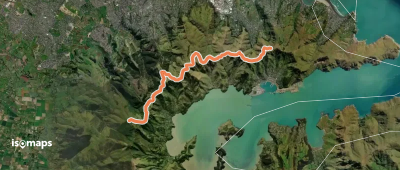
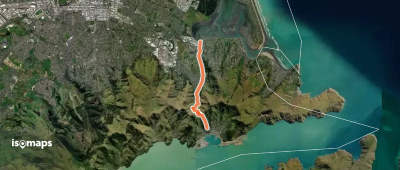
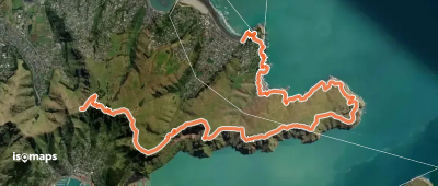
Governors Bay, New Zealand / Aotearoa
13,21 km +404 m 5h 40min
Difficile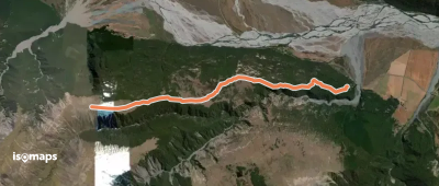
Essayez Isomaps gratuitement pendant 7 jours. Disponible sur iOS et Android.
