26 itinéraires dans Manawatū-Whanganui. Trouvez votre prochain parcours sur Isomaps — cartes topo, GPS et profil altimétrique.
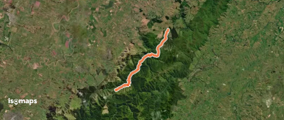
Mangatepopo Hut, New Zealand / Aotearoa
19,68 km +1 241 m 4h 30min
Difficile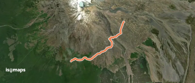
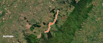
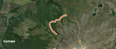
Mangaehuehu Hut, New Zealand / Aotearoa
10,27 km +526 m 2h 30min
Facile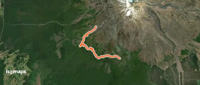
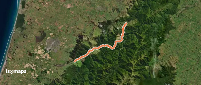
South East Basin, New Zealand / Aotearoa
10,35 km +367 m 2h 30min
Facile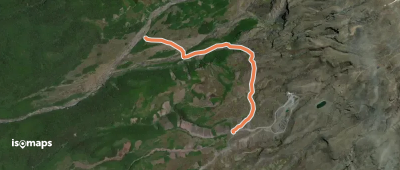
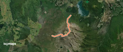
Mangaturuturu Hut, New Zealand / Aotearoa
3,15 km +243 m 40min
Très facile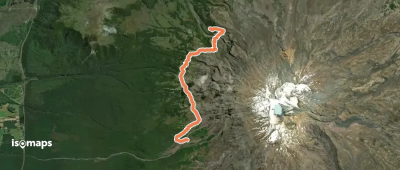
Whakapapaiti Hut, New Zealand / Aotearoa
11,94 km +414 m 2h 35min
Facile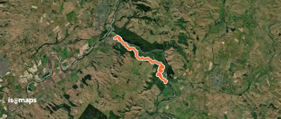
Whakapapaiti Hut, New Zealand / Aotearoa
8,03 km +336 m 2h 5min
FacileEssayez Isomaps gratuitement pendant 7 jours. Disponible sur iOS et Android.
