34 itinéraires dans Southland. Trouvez votre prochain parcours sur Isomaps — cartes topo, GPS et profil altimétrique.
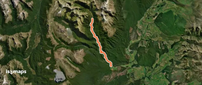
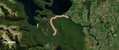
North Borland Hut, New Zealand / Aotearoa
13,63 km +418 m 4h 15min
Modéré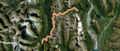
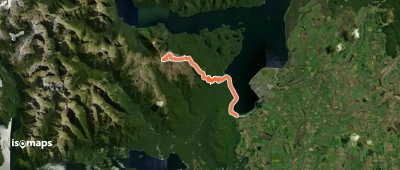
Routeburn Shelter, New Zealand / Aotearoa
31,43 km +2 461 m 14h 40min
Très difficile
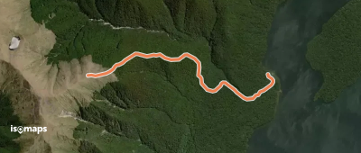

Manapouri, New Zealand / Aotearoa
7,11 km +262 m 2h 10min
Facile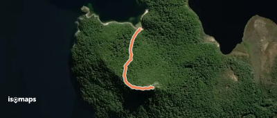
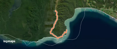
Okaka Hut, New Zealand / Aotearoa
19,34 km +418 m 5h 0min
ModéréEssayez Isomaps gratuitement pendant 7 jours. Disponible sur iOS et Android.
