2 itinéraires dans گلگت بلتستان. Trouvez votre prochain parcours sur Isomaps — cartes topo, GPS et profil altimétrique.
Nichagh, پاکستان
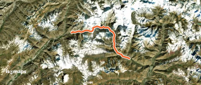
44,50 km +1 936 m 24h 45min
Essayez Isomaps gratuitement pendant 7 jours. Disponible sur iOS et Android.