Overijssel

6,869 itinéraires dans Overijssel. Trouvez votre prochain parcours sur Isomaps — cartes topo, GPS et profil altimétrique.

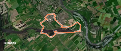
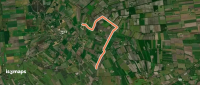
OSM Route 10721333
OSM Route 10721333

Frankhuis, Pays-Bas

1,24 km +4 435 m 15min

Très facile
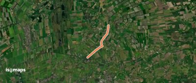
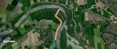
OSM Route 19230808
OSM Route 19230808

Zwartsluis, Pays-Bas

1,35 km +2 760 m 15min

Très facile
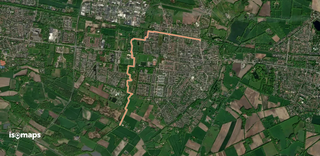
WNW Twente - Ondernemingshuis - groene route

Twekkelerveld, Pays-Bas

3,71 km +15 m 45min

Très facile
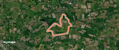
WNW IJsseldelta - Station Zwolle/Zwolle -rode route

Zwolle, Pays-Bas

5,23 km +46 m 1h 5min

Très facile
WNW Twente - Fleringerveld - oranje route

Fleringen, Pays-Bas

3,22 km +11 m 40min

Très facile
WNW Vechtdal - Beerzerpoort/Beerzerzand -blauwe route

Beerze, Pays-Bas

4,87 km +70 m 1h 10min

Très facile
WNW Salland - Fortmond - blauwe route

Veessen, Pays-Bas

4,55 km +16 m 55min

Très facile
WNW WaterReijk - Giethoorn - gele route

Zuideinde, Pays-Bas

4,68 km +6 m 55min

Très facile
WNW Twente - Pathmos - groene route

Enschede, Pays-Bas

3,46 km +18 m 40min

Très facile
WNW WaterReijk - De Kiersche Wijde - rode route

Wanneperveen, Pays-Bas

4,14 km +15 m 50min

Très facile
WNW Vechtdal - Dalmsholte/Giethmen - groene route

Nieuwebrug, Pays-Bas

9,04 km +164 m 2h 0min

Facile
WNW Salland - Keizerslanden - rode route

Borgele, Pays-Bas

3,52 km +13 m 40min

Très facile
WNW Twente- Glanerbrug - Gleis - rode route

Dolphia, Pays-Bas

3,84 km +65 m 50min

Très facile
WNW Vechtdal - Dalmsholte/Lemelerberg - oranje route

Lemele, Pays-Bas

3,97 km +82 m 55min

Très facile
WNW Twente - Enter - rode route

Enter, Pays-Bas

3,28 km +1 m 40min

Très facile
WNW WaterReijk - De Kiersche Wijde - paarse route

Wanneperveen, Pays-Bas

4,13 km +15 m 50min

Très facile
WNW Twente - Sallandse Heuvelrug - blauwe route

Boswachterij Haarle, Pays-Bas

4,62 km +63 m 1h 0min

Très facile
WNW Twente - Enter - groene route

Enter, Pays-Bas

3,64 km +2 m 45min

Très facile
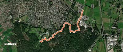
OSM Route 10723161
OSM Route 10723161

Frankhuis, Pays-Bas

481 m +18 531 m 5min

Très facile
WNW Twente - Brandtoren - oranje route

Hezingen, Pays-Bas

3,26 km +24 m 40min

Très facile

Prêt pour votre prochaine sortie ?

Essayez Iso Maps gratuitement pendant 7 jours. Disponible sur iOS et Android.

Télécharger sur iOS Télécharger sur Android APK (sans Google)
Isomaps Vos sorties outdoor, partout, même sans réseau
Installer Installer