709 itinéraires dans Alba / Scotland. Trouvez votre prochain parcours sur Isomaps — cartes topo, GPS et profil altimétrique.
Herra, Royaume-Uni
3,14 km +42 418 m 40min
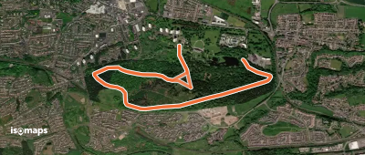
Falkirk, Royaume-Uni
4,66 km +106 m 1h 55min
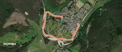
Ballater, Royaume-Uni
2,90 km +21 m 35min
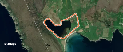
Eilean Ruairidh Beag, Royaume-Uni
8,42 km +331 m 2h 5min
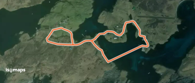
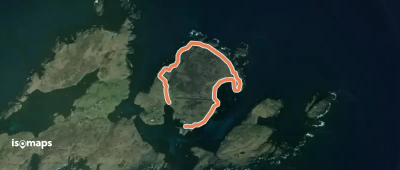
Housay, Royaume-Uni
2,03 km +32 822 m 50min
3,52 km +52 m 45min
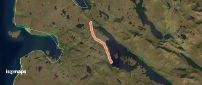
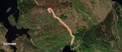
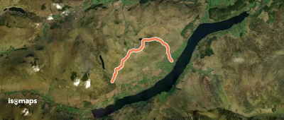
Rowardennan, Royaume-Uni
11,91 km +1 016 m 4h 55min
6,20 km +69 447 m 1h 20min
Ullapool, Royaume-Uni
2,21 km +138 m 40min
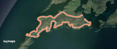
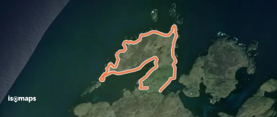
Out Skerries, Royaume-Uni
2,38 km +59 201 m 35min
4,21 km +98 064 m 1h 0min
Garbh Innis, Royaume-Uni
1,87 km +360 m 1h 0min
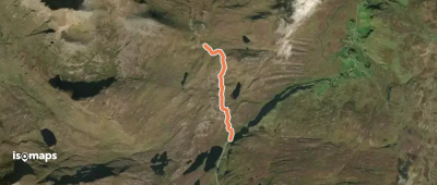
Carn Breac, Royaume-Uni
4,96 km +295 m 1h 25min
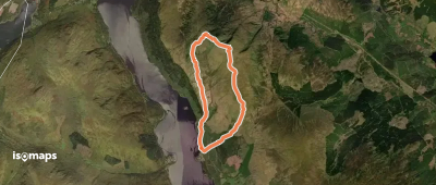
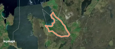
Head of Mula, Royaume-Uni
5,53 km +37 811 m 1h 10min
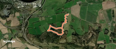
Tarsappie, Royaume-Uni
2,29 km +126 m 40min
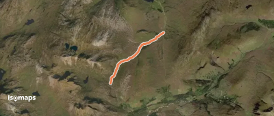
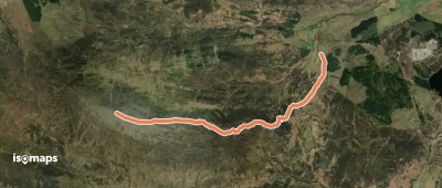
Lawers, Royaume-Uni
13,14 km +1 143 m 5h 20min
Westing, Royaume-Uni
5,40 km +7 432 m 1h 10min
Easter Bohespie, Royaume-Uni
5,32 km +749 m 2h 5min
Tarland, Royaume-Uni
9,80 km +175 m 2h 20min
Ben Arthur, Royaume-Uni
7,49 km +16 243 m 5h 45min
Essayez Isomaps gratuitement pendant 7 jours. Disponible sur iOS et Android.