4,493 itinéraires dans Alpes du Nord. Trouvez votre prochain parcours sur Isomaps — cartes topo, GPS et profil altimétrique.
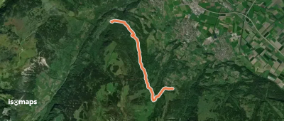


Chermignon-d'en Haut, Schweiz/Suisse/Svizzera/Svizra
13,97 km +1 596 m 18h 0min
Très difficile
Wyssi Flue, Schweiz/Suisse/Svizzera/Svizra
4,38 km +208 m 1h 20min
Très facile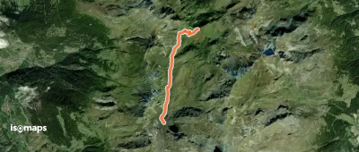
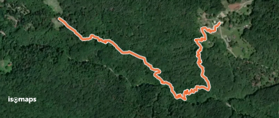
Combacondoi, Schweiz/Suisse/Svizzera/Svizra
3,69 km +31 m 1h 10min
Très facile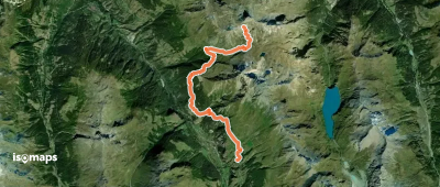
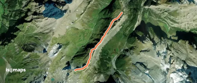
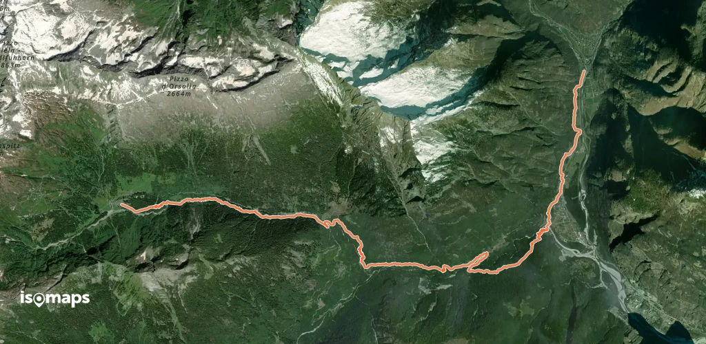
Evolène, Schweiz/Suisse/Svizzera/Svizra
12,94 km +1 901 m 6h 55min
Très difficile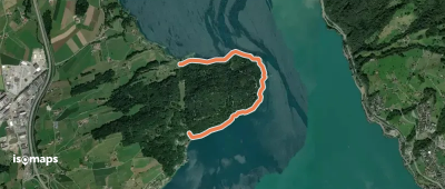
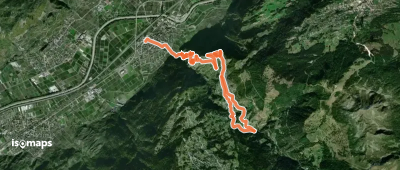
Bellinzona, Schweiz/Suisse/Svizzera/Svizra
1,69 km +451 m 1h 20min
Facile

Bosco Gurin, Schweiz/Suisse/Svizzera/Svizra
15,81 km +609 m 7h 20min
Difficile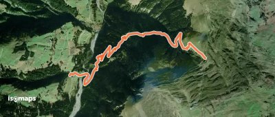
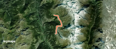
Bischolpass, Schweiz/Suisse/Svizzera/Svizra
5,04 km +145 m 2h 0min
Très facile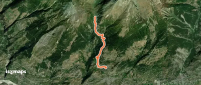

Les Planards, Schweiz/Suisse/Svizzera/Svizra
4,85 km +322 m 2h 0min
Facile

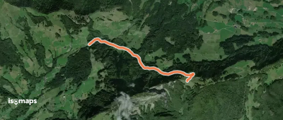
Salategnas, Schweiz/Suisse/Svizzera/Svizra
17,02 km +1 450 m 6h 45min
Très difficileEssayez Isomaps gratuitement pendant 7 jours. Disponible sur iOS et Android.
