27 itinéraires dans 臺北市. Trouvez votre prochain parcours sur Isomaps — cartes topo, GPS et profil altimétrique.
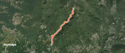
Datun, 臺灣
2,85 km +776 m 2h 25min
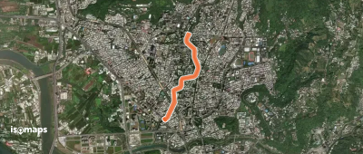
Taipei Veterans General Hospital Heliport, 臺灣
4,11 km +45 m 50min
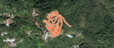
Zhinangong, 臺灣
1,83 km +257 m 1h 5min
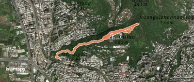
Tudigongba, 臺灣
2,09 km +220 m 2h 0min
Essayez Isomaps gratuitement pendant 7 jours. Disponible sur iOS et Android.