南投縣

24 itinéraires dans 南投縣. Trouvez votre prochain parcours sur Isomaps — cartes topo, GPS et profil altimétrique.

水社大山北稜線
水社大山北稜線

Ostrov Tayvan’, 臺灣

4,02 km +2 m 2h 5min
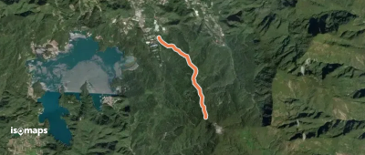
Très facile
水社大山潭南線
水社大山潭南線

Kaifa, 臺灣

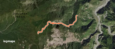
5,63 km +1 429 m 3h 35min

Difficile
溪頭神木林道(左環)
溪頭神木林道(左環)

Hsi-t’ou Forest Recreation Area, 臺灣

2,48 km +261 m 1h 0min

Facile
溪頭神木林道(右環)
溪頭神木林道(右環)

Hsi-t’ou Forest Recreation Area, 臺灣

2,25 km +216 m 50min

Très facile
溪頭神木步道
溪頭神木步道

Hsi-t’ou Forest Recreation Area, 臺灣

1,25 km +178 m 35min
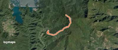
Très facile
神阿古道
神阿古道

Duigao Shan, 臺灣

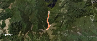
3,97 km +933 m 2h 30min

Difficile
To camp trial and Tianluanchi lake

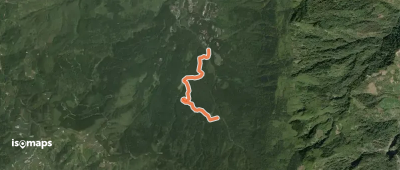
Mount North Ho Huan, 臺灣

3,10 km +184 m 2h 35min

Très facile
溪頭山步道
溪頭山步道

Xitou, 臺灣

1,41 km +242 m 40min
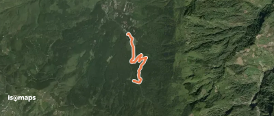
Très facile
獵人古道
獵人古道

Wangxiang, 臺灣

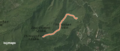
3,13 km +619 m 1h 40min

Modéré

Prêt pour votre prochaine sortie ?

Essayez Iso Maps gratuitement pendant 7 jours. Disponible sur iOS et Android.

Télécharger sur iOS Télécharger sur Android APK (sans Google)
Isomaps Vos sorties outdoor, partout, même sans réseau
Installer Installer