33 itinéraires dans Bauges. Trouvez votre prochain parcours sur Isomaps — cartes topo, GPS et profil altimétrique.

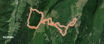
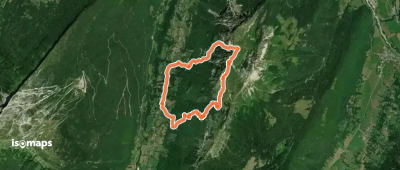
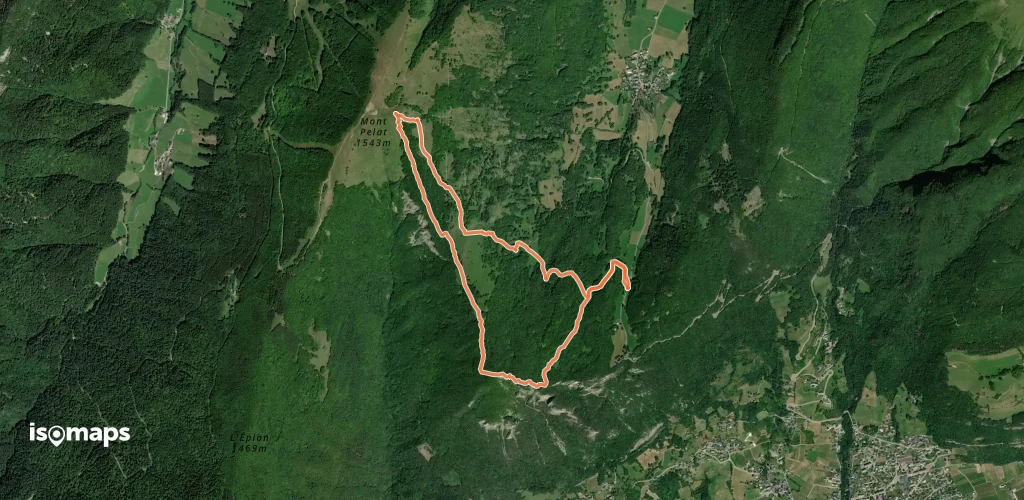
Aillon-le-Vieux, France
8,97 km +1 021 m 3h 10min
Modéré
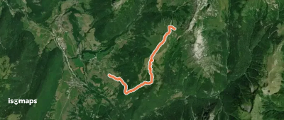
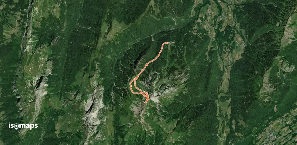

Col de Tamié, France
15,32 km +1 522 m 4h 45min
Facile


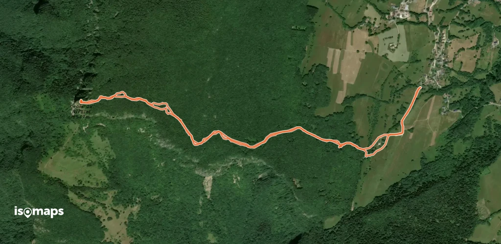
, France
13,63 km +710 m 3h 15min
Très facile
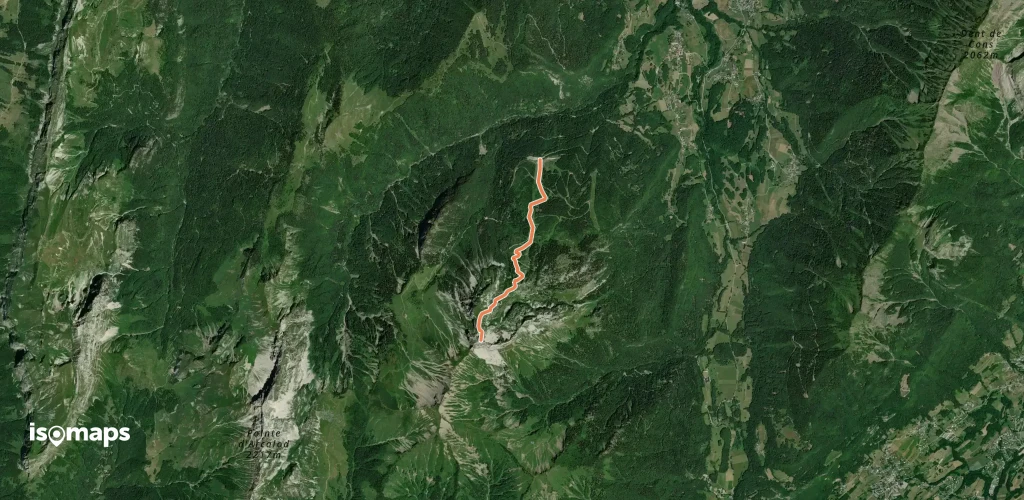
Station de Seythenex-La Sambuy, France
3,15 km +1 026 m 2h 35min
Difficile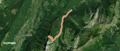
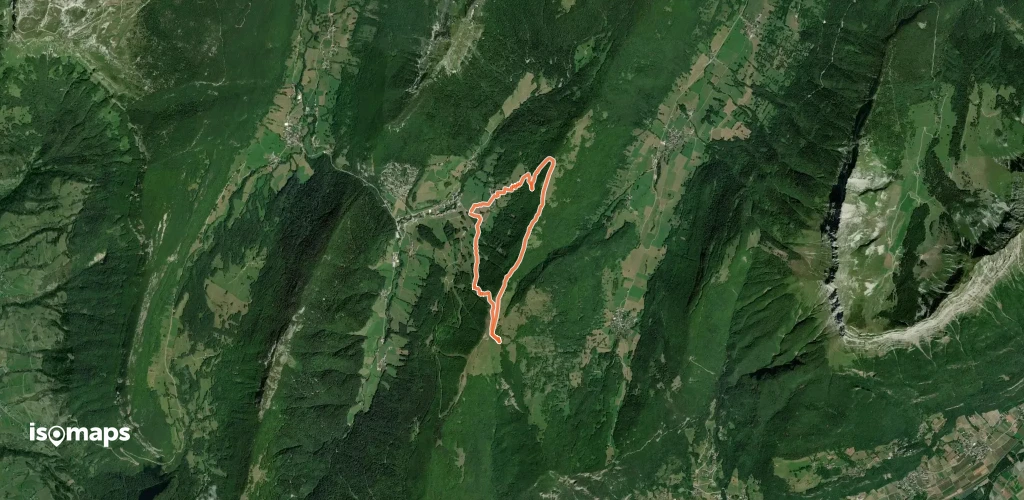
La Correrie, France
6,97 km +635 m 2h 10min
Très facile
, France
9,00 km +660 m 2h 30min
Facile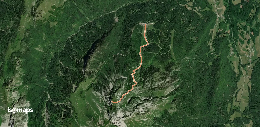
Station de Seythenex-La Sambuy, France
2,89 km +925 m 2h 25min
Très facile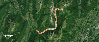
Essayez Isomaps gratuitement pendant 7 jours. Disponible sur iOS et Android.


