28 itinéraires dans Devoluy. Trouvez votre prochain parcours sur Isomaps — cartes topo, GPS et profil altimétrique.
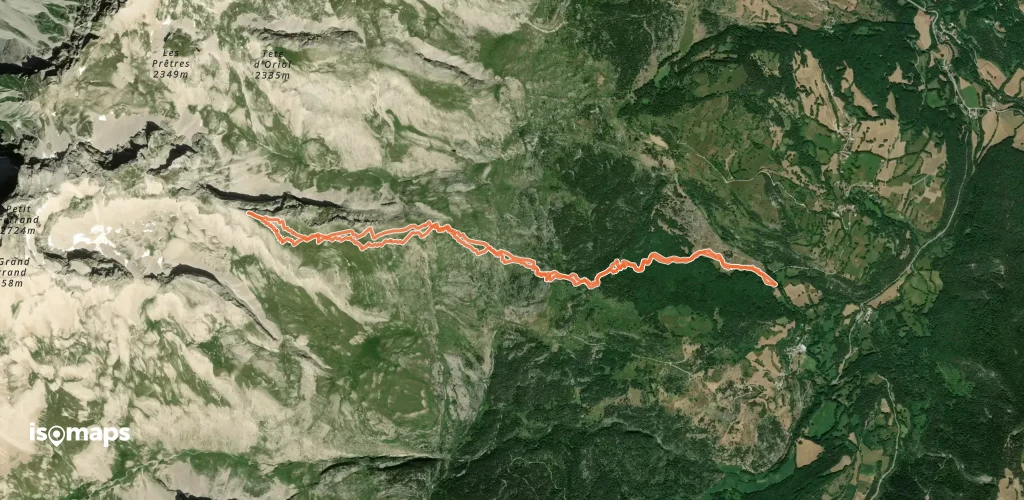
Grand Ferrand, France
13,75 km +1 854 m 4h 55min
Très difficile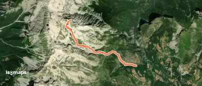
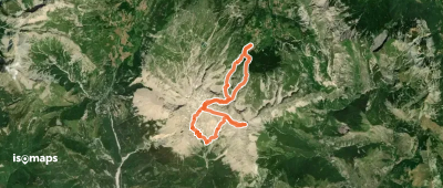
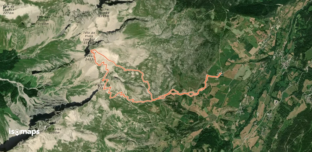
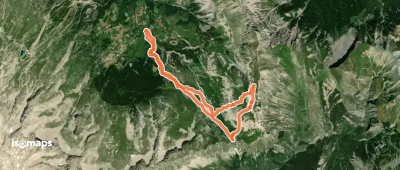
Grande Tête de l'Obiou, France
24,81 km +2 336 m 6h 55min
Modéré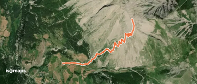
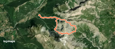
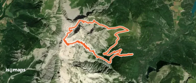
L'Enclus, France
12,00 km +996 m 3h 25min
Facile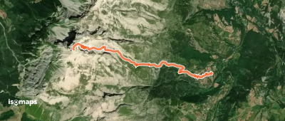
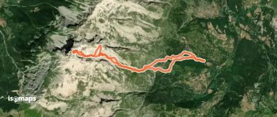
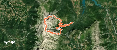
Le Grand Villard, France
7,50 km +1 559 m 3h 50min
Très difficileEssayez Isomaps gratuitement pendant 7 jours. Disponible sur iOS et Android.
