Devoluy

42 itinéraires dans Devoluy. Trouvez votre prochain parcours sur Isomaps — cartes topo, GPS et profil altimétrique.
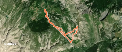
Pic de Pré Chambenne, En boucle par le Col de Rabou

L'Enclus, France

12,00 km +996 m 3h 25min

Facile
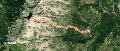
Grand Ferrand, voie du Chourum Olympique

Le Grand Villard, France

7,50 km +1 559 m 3h 50min

Très difficile
Rocher Rond - Face SE, par le vallon du Jidier

, France

8,60 km +1 050 m 3h 15min

Modéré
Pic Pierroux - Croupe WNW

, France

11,16 km +1 100 m 3h 25min

Facile
Rocher de Corne - Traversée Héroïque

, France

6,60 km +620 m 1h 55min

Facile

Prêt pour ta prochaine sortie ?

Essayez Isomaps gratuitement pendant 7 jours. Disponible sur iOS et Android.

Télécharger sur iOS Télécharger sur Android APK (sans Google)
Isomaps Vos sorties outdoor, partout, même sans réseau
Installer Installer